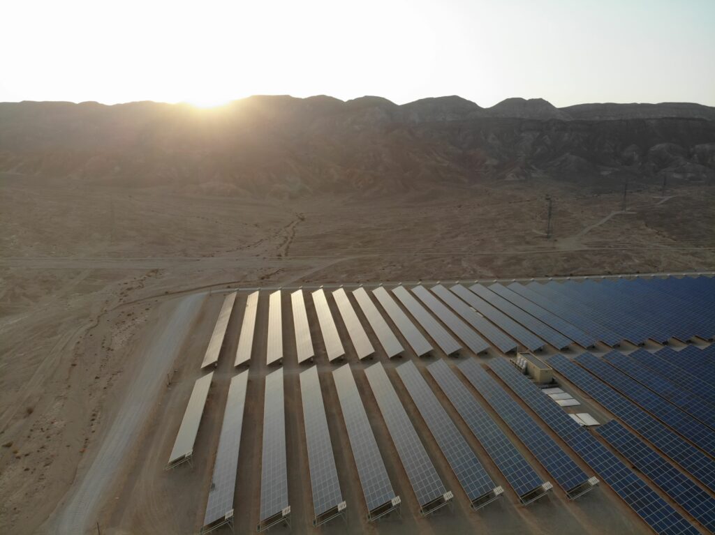
Whether you’re traveling through the plains of the Midwest or the wide expanse of land in Texas, you’re likely to spot a wind or solar energy farm. This comes as no surprise, since solar and wind are the fastest growing clean energy resources.
From the initial business need of finding and acquiring land, the first steps of developing these large scale renewable energy projects are critical to the success of the investment. ReportAll’s national parcel database contains the key GIS data attributes needed to support the sustainable energy industry and the development of these large scale solar and wind energy projects.
How GIS Parcel Data Informs Reusable Energy Projects
GIS parcel viewers play a key role in identifying the land parcels best suited for developing wind and solar farms. For GIS data experts, the first step in evaluating the land is to secure a parcel viewer tool or a parcel data download to easily review key parcel data attributes such as acreage, land use, flood zones, elevation, land cover, and property lines. Additionally, analysts layer in key environmental data such as average wind speed and solar radiation data as well as land that is contaminated or protected because of endangered wildlife, to have a comprehensive understanding of the landscape.
By understanding parcel data attributes and environmental elements, GIS data experts provide informed recommendations around the best locations for developing wind or solar farms and transferring that energy to the grid.
Once the prime land parcels are identified, the additional GIS parcel data is used by the land department or land services companies to compile property ownership and property boundary data to contact landowners and secure the land for development.
Types of GIS Parcel Viewers and Data Downloads
Depending upon the existing systems and softwares in place, organizations may be in need of an interactive GIS parcel viewer or a direct download of the parcel data to support the development of large scale renewable energy projects.
At ReportAll, we provide GIS parcel data downloads in various file formats including Esri shapefile (.shp), Microsoft Excel spreadsheet (.xls), comma-separated values file (.csv), and Google Earth KMZ / KML. All of these file formats are available 24/7 for purchase and instant download through our webstore. Browse our GIS parcel database by county and purchase now.
Additional GIS parcel viewer options we offer include:
- Viewing parcel data as a layer on Google Earth with PARLAY
- Accessing GIS parcel database from a browser with ReportAll Online
- Integrating our parcel database within your system/platform with our API
- Browsing parcel data on-site with our GPS based mobile application LandGlide®
By providing our data in different formats and solutions, our goal is that the key parcel data needed is available and easy to use – whenever and wherever it’s needed.
Power The Future With ReportAll
Easily analyze and identify parcels of land that meet your energy project requirements by leveraging our GIS parcel viewer solutions. With data for more than 152.3 million parcels in over 3,000 counties, our GIS parcel database has the largest coverage and the most up-to-date parcel polygons.
Regardless of format, all of our county data is normalized and able to be layered with other data sources to provide the GIS parcel information needed to make informed decisions around large scale wind and solar farm development projects.
If you have any questions about our GIS mapping solutions and parcel data, please contact us to learn more about how our GIS parcel viewers can assist you in your search for the perfect location for your next solar or wind farm.