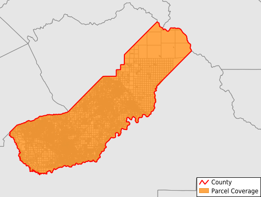
Madera County
Parcel Data
Price: $200.00
Last Updated:
2025-Q1
Parcels in County:
65,736
Parcel data available to download as a GDB, GeoPackage, Shapefile, Excel, CSV, or Google Earth KML file.
All purchased data comes with six months of access, including any updates, at no additional cost.
Key attribute coverage for Madera County
The percentage of Madera County parcels containing the following key attributes:
Owner: 96.1%
Parcel Number: 100%
Acreage (Calculated): 100%
Site Address: 78.1%
Mailing Address: 96.1%
All available attributes in Madera County
Parcel Number
Site Address
Owner
Land Use Code
Land Use Class
Acreage (deeded)
Acreage (calculated)
Perimeter
Municipality
School District
Zip Code
Flood Zone
Flood Zone Subtype
Census Tract
Census Block Group
Census Block
Total Market Value
Land Market Value
Story Height
Map Book
Map Page
Mail Address1
Mail Address3
Legal Desc1
Year Built
Total Rooms
Bedrooms
Fullbath
Halfbath
Addr Sec Unit Num
Place Gnis Code
Land Cover
Elevation
Owner Occupied
Robust Id
Usps Residential
Alt Id 1
Plss Description
Plss Township
Plss Range
Plss Section
Crop Cover
Acreage Adjacent With Sameowner
Municipalities Respresented in Madera County
Chowchilla CCD: 7,433
Madera CCD: 28,629
Madera Southeast CCD: 8,070
Madera West CCD: 1,086
Oakhurst-North Fork CCD: 12,116
Yosemite Lakes CCD: 8,402
Save money when you buy data in bulk
We offer discounted pricing on county and state downloads.