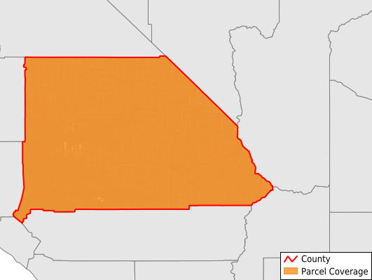
San Bernardino County
Parcel Data
Price: $250.00
Last Updated:
2025-Q2
Parcels in County:
845,569
Parcel data available to download as a GDB, GeoPackage, Shapefile, Excel, CSV, or Google Earth KML file.
All purchased data comes with six months of access, including any updates, at no additional cost.
Key attribute coverage for San Bernardino County
The percentage of San Bernardino County parcels containing the following key attributes:
Owner: 99.3%
Parcel Number: 99.4%
Acreage (Calculated): 100%
Site Address: 100%
Mailing Address: 99.3%
All available attributes in San Bernardino County
Parcel Number
Site Address
Owner
Land Use Code
Acreage (calculated)
Perimeter
Municipality
School District
Zip Code
Flood Zone
Flood Zone Subtype
Census Tract
Census Block Group
Census Block
Land Market Value
Building Market Value
Mail Address1
Mail Address3
Buildings
Addr Sec Unit Num
Place Gnis Code
Land Cover
Elevation
Owner Occupied
Robust Id
Usps Residential
Plss Description
Plss Township
Plss Range
Plss Section
Crop Cover
Acreage Adjacent With Sameowner
Municipalities Respresented in San Bernardino County
Lake Arrowhead CCD: 33,503
Big Bear CCD: 41,919
Mount Baldy-Wrightwood CCD: 5,855
Needles CCD: 15,753
Newberry Springs-Baker CCD: 20,101
Ontario CCD: 193,332
Searles Valley CCD: 4,202
San Bernardino CCD: 220,657
Twentynine Palms-Yucca Valley CCD: 73,895
Yucaipa CCD: 16,830
Barstow CCD: 37,303
Victorville-Hesperia CCD: 182,208
Save money when you buy data in bulk
We offer discounted pricing on county and state downloads.