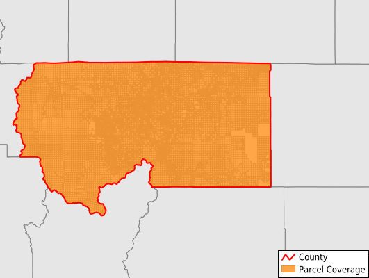
Siskiyou County
Parcel Data
Price: $300.00
Last Updated:
2024-Q2
Parcels in County:
53,911
Parcel data available to download as a GDB, GeoPackage, Shapefile, Excel, CSV, or Google Earth KML file.
All purchased data comes with six months of access, including any updates, at no additional cost.
Key attribute coverage for Siskiyou County
The percentage of Siskiyou County parcels containing the following key attributes:
Owner: 98.4%
Parcel Number: 100%
Acreage (Calculated): 100%
Site Address: 37.4%
Mailing Address: 84.1%
All available attributes in Siskiyou County
Parcel Number
Site Address
Owner
Land Use Code
Land Use Class
Acreage (deeded)
Acreage (calculated)
Perimeter
Municipality
School District
Zip Code
Flood Zone
Flood Zone Subtype
Census Tract
Census Block Group
Census Block
Land Market Value
Building Market Value
Story Height
Mail Address1
Mail Address2
Mail Address3
Legal Desc1
Year Built
Bedrooms
Fullbath
Halfbath
Buildings
Addr Sec Unit Num
Place Gnis Code
Land Cover
Elevation
Owner Occupied
Robust Id
Usps Residential
Plss Description
Plss Township
Plss Range
Plss Section
Crop Cover
Acreage Adjacent With Sameowner
Municipalities Respresented in Siskiyou County
Butte Valley CCD: 3,956
Dunsmuir CCD: 2,318
Etna CCD: 5,058
Fort Jones CCD: 2,105
Happy Camp CCD: 3,697
Hornbrook-Hilt CCD: 1,524
McCloud-Medicine Lake CCD: 4,187
Montague CCD: 7,464
Mount Shasta CCD: 5,214
Tulelake CCD: 1,496
Weed CCD: 9,631
Yreka CCD: 7,261
Save money when you buy data in bulk
We offer discounted pricing on county and state downloads.