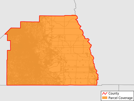
Tulare County
Parcel Data
Price: $200.00
Last Updated:
2025-Q2
Parcels in County:
163,605
Parcel data available to download as a GDB, GeoPackage, Shapefile, Excel, CSV, or Google Earth KML file.
All purchased data comes with six months of access, including any updates, at no additional cost.
Key attribute coverage for Tulare County
The percentage of Tulare County parcels containing the following key attributes:
Owner: 100%
Parcel Number: 100%
Acreage (Calculated): 100%
Site Address: 79%
Mailing Address: 100%
All available attributes in Tulare County
Parcel Number
Site Address
Owner
Land Use Code
Land Use Class
Zoning
Acreage (deeded)
Acreage (calculated)
Perimeter
Municipality
School District
Zip Code
Flood Zone
Flood Zone Subtype
Census Tract
Census Block Group
Census Block
Land Market Value
Building Market Value
Mail Name
Mail Address1
Mail Address2
Mail Address3
Legal Desc1
Buildings
Addr Sec Unit Num
Place Gnis Code
Land Cover
Elevation
Owner Occupied
Robust Id
Usps Residential
Alt Id 1
Plss Description
Plss Township
Plss Range
Plss Section
Crop Cover
Acreage Adjacent With Sameowner
Municipalities Respresented in Tulare County
Dinuba CCD: 10,656
Earlimart CCD: 6,440
Exeter CCD: 9,473
Ivanhoe CCD: 2,984
Lindsay CCD: 5,330
Orosi-Cutler CCD: 4,413
Pixley CCD: 2,730
Porterville CCD: 22,000
Springville-Johnsondale CCD: 7,352
Strathmore CCD: 2,967
Terra Bella CCD: 3,065
Tipton CCD: 2,019
Tulare CCD: 24,884
Visalia CCD: 51,511
Woodlake-Three Rivers CCD: 7,781
Save money when you buy data in bulk
We offer discounted pricing on county and state downloads.