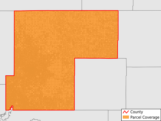
Weld County
Parcel Data
Price: $250.00
Last Updated:
2024-Q4
Parcels in County:
159,245
Parcel data available to download as a GDB, GeoPackage, Shapefile, Excel, CSV, or Google Earth KML file.
All purchased data comes with six months of access, including any updates, at no additional cost.
Key attribute coverage for Weld County
The percentage of Weld County parcels containing the following key attributes:
Owner: 99.4%
Parcel Number: 100%
Acreage (Calculated): 100%
Site Address: 80.4%
Mailing Address: 99.3%
All available attributes in Weld County
Parcel Number
Site Address
Owner
Transfer Date
Sale Price
Neighborhood Code
Acreage (calculated)
Perimeter
Municipality
School District
Zip Code
Flood Zone
Flood Zone Subtype
Census Tract
Census Block Group
Census Block
Total Market Value
Land Market Value
Building Market Value
Mail Address1
Mail Address2
Mail Address3
Legal Desc1
Buildings
Addr Sec Unit Num
Place Gnis Code
Land Cover
Elevation
Owner Occupied
Robust Id
Usps Residential
Alt Id 1
Plss Description
Plss Township
Plss Range
Plss Section
Crop Cover
Acreage Adjacent With Sameowner
Municipalities Respresented in Weld County
Ault CCD: 6,602
Erie-Frederick CCD: 30,177
Fort Lupton CCD: 6,521
Greeley CCD: 45,424
Grover CCD: 1,604
Johnstown-Milliken CCD: 21,614
Keenesburg-Hudson CCD: 12,674
Kersey-Gill CCD: 4,850
La Salle-Gilcrest CCD: 2,677
Platteville CCD: 2,588
Raymer CCD: 3,190
Windsor CCD: 21,324
Save money when you buy data in bulk
We offer discounted pricing on county and state downloads.