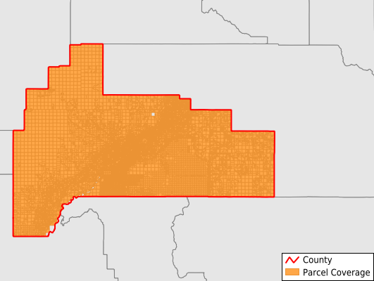
Bingham County
Parcel Data
Price: $250.00
Last Updated:
2024-Q4
Parcels in County:
38,393
Parcel data available to download as a GDB, GeoPackage, Shapefile, Excel, CSV, or Google Earth KML file.
All purchased data comes with six months of access, including any updates, at no additional cost.
Key attribute coverage for Bingham County
The percentage of Bingham County parcels containing the following key attributes:
Owner: 89.6%
Parcel Number: 96.6%
Acreage (Calculated): 100%
Site Address: 47.8%
Mailing Address: 79.5%
All available attributes in Bingham County
Parcel Number
Site Address
Owner
Zoning
Acreage (deeded)
Acreage (calculated)
Perimeter
Municipality
School District
Zip Code
Census Tract
Census Block Group
Census Block
Total Market Value
Land Market Value
Mail Address1
Legal Desc1
Legal Desc2
Legal Desc3
Addr Sec Unit Num
Place Gnis Code
Land Cover
Elevation
Owner Occupied
Robust Id
Usps Residential
Plss Description
Plss Township
Plss Range
Plss Section
Crop Cover
Acreage Adjacent With Sameowner
Municipalities Respresented in Bingham County
Aberdeen CCD: 2,692
Alridge CCD: 2,551
Atomic City CCD: 4,554
Blackfoot CCD: 8,718
Firth CCD: 2,525
Fort Hall CCD: 4,132
Moreland CCD: 7,513
Shelley CCD: 5,708
Save money when you buy data in bulk
We offer discounted pricing on county and state downloads.