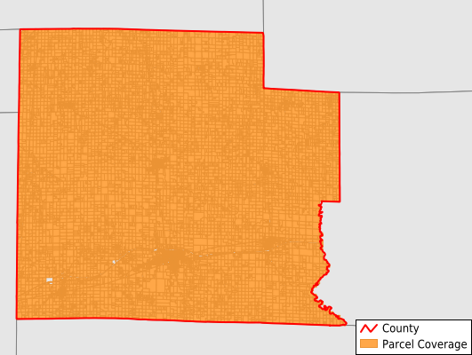
Clay County
Parcel Data
Price: $250.00
Last Updated:
2025-Q1
Parcels in County:
15,621
Parcel data available to download as a GDB, GeoPackage, Shapefile, Excel, CSV, or Google Earth KML file.
All purchased data comes with six months of access, including any updates, at no additional cost.
Key attribute coverage for Clay County
The percentage of Clay County parcels containing the following key attributes:
Owner: 99.6%
Parcel Number: 100%
Acreage (Calculated): 100%
Site Address: 97.6%
Mailing Address: 99.6%
All available attributes in Clay County
Parcel Number
Site Address
Owner
Transfer Date
Acreage (deeded)
Acreage (calculated)
Perimeter
Municipality
School District
Zip Code
Census Tract
Census Block Group
Census Block
Mail Address1
Legal Desc1
Addr Sec Unit Num
Place Gnis Code
Land Cover
Elevation
Owner Occupied
Robust Id
Usps Residential
Plss Description
Plss Township
Plss Range
Plss Section
Crop Cover
Acreage Adjacent With Sameowner
Municipalities Respresented in Clay County
Bible Grove Township: 733
Blair Township: 933
Clay City Township: 1,395
Harter Township: 4,164
Hoosier Township: 893
Larkinsburg Township: 1,035
Louisville Township: 1,556
Oskaloosa Township: 799
Pixley Township: 1,241
Songer Township: 793
Stanford Township: 1,234
Xenia Township: 845
Save money when you buy data in bulk
We offer discounted pricing on county and state downloads.