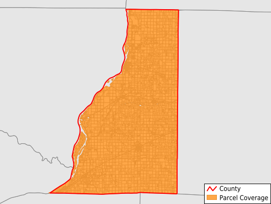
Henderson County
Parcel Data
Price: $400.00
Last Updated:
2024-Q4
Parcels in County:
8,013
Parcel data available to download as a GDB, GeoPackage, Shapefile, Excel, CSV, or Google Earth KML file.
All purchased data comes with six months of access, including any updates, at no additional cost.
Key attribute coverage for Henderson County
The percentage of Henderson County parcels containing the following key attributes:
Owner: 0%
Parcel Number: 100%
Acreage (Calculated): 100%
Site Address: 51.8%
Mailing Address: 100%
All available attributes in Henderson County
Parcel Number
Site Address
Transfer Date
Sale Price
Acreage (deeded)
Acreage (calculated)
Perimeter
Municipality
School District
Zip Code
Flood Zone
Flood Zone Subtype
Census Tract
Census Block Group
Census Block
Total Market Value
Mail Address1
Mail Address2
Mail Address3
Addr Sec Unit Num
Place Gnis Code
Land Cover
Elevation
Owner Occupied
Robust Id
Usps Residential
Alt Id 1
Plss Description
Plss Township
Plss Range
Plss Section
Crop Cover
Acreage Adjacent With Sameowner
Municipalities Respresented in Henderson County
Bald Bluff Township: 429
Biggsville Township: 690
Carman Township: 444
Gladstone Township: 1,167
Lomax Township: 855
Media Township: 567
Oquawka Township: 1,637
Raritan Township: 440
Rozetta Township: 442
Stronghurst Township: 969
Terre Haute Township: 373
Save money when you buy data in bulk
We offer discounted pricing on county and state downloads.