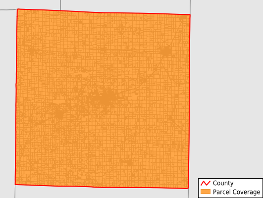
McDonough County
Parcel Data
Price: $250.00
Last Updated:
2025-Q2
Parcels in County:
18,276
Parcel data available to download as a GDB, GeoPackage, Shapefile, Excel, CSV, or Google Earth KML file.
All purchased data comes with six months of access, including any updates, at no additional cost.
Key attribute coverage for McDonough County
The percentage of McDonough County parcels containing the following key attributes:
Owner: 99.6%
Parcel Number: 100%
Acreage (Calculated): 100%
Site Address: 66.4%
Mailing Address: 99.6%
All available attributes in McDonough County
Parcel Number
Site Address
Owner
Land Use Code
Land Use Class
Acreage (deeded)
Acreage (calculated)
Perimeter
Municipality
School District
Zip Code
Census Tract
Census Block Group
Census Block
Mail Name
Mail Address1
Mail Address2
Mail Address3
Legal Desc1
Addr Sec Unit Num
Place Gnis Code
Land Cover
Elevation
Owner Occupied
Robust Id
Usps Residential
Alt Id 1
Plss Description
Plss Township
Plss Range
Plss Section
Crop Cover
Acreage Adjacent With Sameowner
Nearest Transmission Line Dist Ft
Nearest Substation Dist Ft
Derived Geom Properties
Municipalities Respresented in McDonough County
Bethel Township: 550
Blandinsville Township: 905
Bushnell Township: 1,845
Chalmers Township: 671
Colchester Township: 1,283
Eldorado Township: 347
Emmet Township: 1,028
Hire Township: 456
Industry Township: 781
Lamoine Township: 548
Macomb Township: 554
Macomb City Township: 5,647
Mound Township: 439
New Salem Township: 507
Prairie City Township: 466
Sciota Township: 623
Scotland Township: 537
Tennessee Township: 545
Walnut Grove Township: 544
Save money when you buy data in bulk
We offer discounted pricing on county and state downloads.