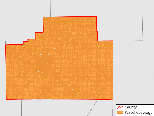
McLean County
Parcel Data
Price: $250.00
Last Updated:
2025-Q1
Parcels in County:
71,237
Parcel data available to download as a GDB, GeoPackage, Shapefile, Excel, CSV, or Google Earth KML file.
All purchased data comes with six months of access, including any updates, at no additional cost.
Key attribute coverage for McLean County
The percentage of McLean County parcels containing the following key attributes:
Owner: 98.4%
Parcel Number: 100%
Acreage (Calculated): 100%
Site Address: 83.7%
Mailing Address: 98.4%
All available attributes in McLean County
Parcel Number
Site Address
Owner
Acreage (calculated)
Perimeter
Municipality
School District
Zip Code
Flood Zone
Flood Zone Subtype
Census Tract
Census Block Group
Census Block
Mail Address1
Mail Address2
Mail Address3
Buildings
Addr Sec Unit Num
Place Gnis Code
Land Cover
Elevation
Owner Occupied
Robust Id
Usps Residential
Plss Description
Plss Township
Plss Range
Plss Section
Crop Cover
Acreage Adjacent With Sameowner
Municipalities Respresented in McLean County
Allin Township: 736
Anchor Township: 353
Arrowsmith Township: 665
Bellflower Township: 681
Bloomington Township: 1,349
Bloomington City Township: 27,624
Blue Mound Township: 535
Cheney'S Grove Township: 988
Chenoa Township: 1,460
Cropsey Township: 264
Dale Township: 842
Danvers Township: 1,325
Dawson Township: 699
Downs Township: 973
Dry Grove Township: 1,134
Empire Township: 2,387
Funks Grove Township: 429
Gridley Township: 1,587
Hudson Township: 1,446
Lawndale Township: 385
Lexington Township: 1,426
Martin Township: 848
Money Creek Township: 808
Mount Hope Township: 850
Normal Township: 14,642
Old Town Township: 1,631
Randolph Township: 2,277
Towanda Township: 1,251
West Township: 490
White Oak Township: 641
Yates Township: 511
Save money when you buy data in bulk
We offer discounted pricing on county and state downloads.