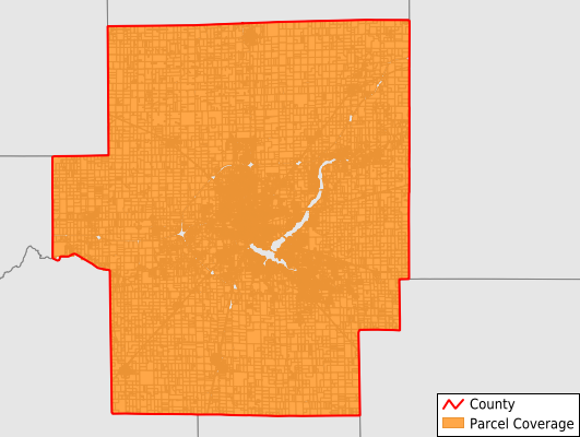
Macon County
Parcel Data
Price: $250.00
Last Updated:
2024-Q3
Parcels in County:
57,071
Parcel data available to download as a GDB, GeoPackage, Shapefile, Excel, CSV, or Google Earth KML file.
All purchased data comes with six months of access, including any updates, at no additional cost.
Key attribute coverage for Macon County
The percentage of Macon County parcels containing the following key attributes:
Owner: 99.4%
Parcel Number: 99.4%
Acreage (Calculated): 100%
Site Address: 87.4%
Mailing Address: 99.4%
All available attributes in Macon County
Parcel Number
Site Address
Owner
Land Use Code
Land Use Class
Zoning
Acreage (deeded)
Acreage (calculated)
Perimeter
Municipality
School District
Zip Code
Flood Zone
Flood Zone Subtype
Census Tract
Census Block Group
Census Block
Mail Address1
Legal Desc1
Addr Sec Unit Num
Place Gnis Code
Land Cover
Elevation
Owner Occupied
Robust Id
Usps Residential
Alt Id 1
Plss Description
Plss Township
Plss Range
Plss Section
Crop Cover
Acreage Adjacent With Sameowner
Municipalities Respresented in Macon County
Austin Township: 405
Blue Mound Township: 823
Decatur Township: 26,324
Friends Creek Township: 1,134
Harristown Township: 1,256
Hickory Point Township: 6,940
Illini Township: 987
Long Creek Township: 5,732
Maroa Township: 1,348
Mount Zion Township: 3,805
Niantic Township: 824
Oakley Township: 946
Pleasant View Township: 945
South Macon Township: 1,105
South Wheatland Township: 2,251
Whitmore Township: 2,246
Save money when you buy data in bulk
We offer discounted pricing on county and state downloads.