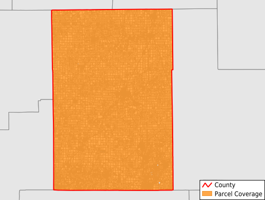
Macoupin County
Parcel Data
Price: $250.00
Last Updated:
2025-Q2
Parcels in County:
38,041
Parcel data available to download as a GDB, GeoPackage, Shapefile, Excel, CSV, or Google Earth KML file.
All purchased data comes with six months of access, including any updates, at no additional cost.
Key attribute coverage for Macoupin County
The percentage of Macoupin County parcels containing the following key attributes:
Owner: 97.2%
Parcel Number: 97.9%
Acreage (Calculated): 100%
Site Address: 76.9%
Mailing Address: 97.2%
All available attributes in Macoupin County
Parcel Number
Site Address
Owner
Transfer Date
Sale Price
Land Use Code
Land Use Class
Acreage (calculated)
Perimeter
Municipality
School District
Zip Code
Census Tract
Census Block Group
Census Block
Mail Address1
Legal Desc1
Buildings
Addr Sec Unit Num
Place Gnis Code
Land Cover
Elevation
Owner Occupied
Robust Id
Usps Residential
Plss Description
Plss Township
Plss Range
Plss Section
Crop Cover
Acreage Adjacent With Sameowner
Municipalities Respresented in Macoupin County
Bird Township: 614
Barr Township: 580
Brighton Township: 2,419
Brushy Mound Township: 1,008
Bunker Hill Township: 2,154
Cahokia Township: 2,893
Carlinville Township: 3,698
Chesterfield Township: 975
Dorchester Township: 1,240
Gillespie Township: 2,784
Girard Township: 1,490
Hillyard Township: 1,253
Honey Point Township: 516
Mount Olive Township: 2,219
Nilwood Township: 994
North Otter Township: 993
North Palmyra Township: 1,166
Polk Township: 829
Scottville Township: 709
Shaws Point Township: 776
Shipman Township: 1,147
South Otter Township: 630
South Palmyra Township: 968
Staunton Township: 3,203
Virden Township: 2,253
Western Mound Township: 530
Save money when you buy data in bulk
We offer discounted pricing on county and state downloads.