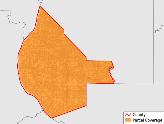
The smart choice for parcel data.
  • Data Store
  • Solutions
  • Support
  • About Us
  • Industries
  • Contact Us
  • Monroe County

    250.00

    County data purchases qualify for discount eligibility. Discounts will be applied at checkout.


    10% off county data orders $2500 - $4999.99.


    20% off county data orders $5000 and above.

    Share and utilize files within your organization.

    Instantly download ESRI Shapefile, Excel, Google Earth KMZ/KML, and CSV.

    Perpetual use of the data & free access to data updates for 6 months.

    Purchasing Bulk Data?

    County data purchases qualify for discount eligibility. Discounts will be applied at checkout.


    10% off county data orders $2500 - $4999.99.


    20% off county data orders $5000 and above.

    County data purchases are eligible for volume discounts. Purchasing a large quantity of data? Email our sales team or call 216-375-3481 to inquire about special pricing.

    At ReportAll our data collection and data development teams are constantly working to add and update county parcel data. Our update schedule produces the most current National Parcel Polygon Layer available and contains data attributes that are consistently normalized, making it simple for you to use the data within your applications. Our pricing structure provides volume discounts for bundled counties and also allows for perpetual use of the data as well as free access to data updates for a period of 6 months.

    Coverage for Key Attributes in Monroe County

    Attribute coverage percentages (the fraction of records with nonempty values) for select attributes in this dataset are listed below.

    • Owner: 98.5%
    • Site Address: 78.9%
    • Parcel Number: 100%
    • Mailing Address: 98.5%
    • Acreage (Calculated): 100%

    Parcel Attributes in Monroe County

    • Parcel Number
    • Site Address
    • Owner
    • Land Use Code
    • Land Use Class
    • Acreage (deeded)
    • Acreage (calculated)
    • Perimeter
    • Municipality
    • School District
    • Zip Code
    • Flood Zone
    • Flood Zone Subtype
    • Census Tract
    • Census Block Group
    • Census Block
    • Mail Address1
    • Legal Desc1
    • Buildings
    • Addr Sec Unit Num
    • Place Gnis Code
    • Land Cover
    • Elevation
    • Owner Occupied
    • Robust Id
    • Usps Residential
    • Alt Id 1
    • Plss Description
    • Plss Township
    • Plss Range
    • Plss Section
    • Crop Cover
    • Acreage Adjacent With Sameowner

    Municipalities Represented in Monroe County

    The count of records that appears within the county dataset for each municipality is listed below.

    • Precinct 31: 312
    • Precinct 5: 323
    • Precinct 6: 895
    • Precinct 32: 306
    • Precinct 15: 1,175
    • Precinct 25: 532
    • Precinct 2: 237
    • Precinct 10: 466
    • Precinct 22: 475
    • Precinct 11: 520
    • Precinct 20: 680
    • Precinct 27: 694
    • Precinct 36: 276
    • Precinct 29: 528
    • Precinct 21: 519
    • Precinct 37: 283
    • Precinct 13: 806
    • Precinct 16: 467
    • Precinct 26: 910
    • Precinct 28: 445
    • Precinct 17: 438
    • Precinct 19: 331
    • Precinct 33: 193
    • Precinct 4: 478
    • Precinct 7: 393
    • Precinct 34: 852
    • Precinct 9: 950
    • Precinct 18: 459
    • Precinct 8: 670
    • Precinct 30: 505
    • Precinct 35: 440
    • Precinct 3: 476
    • Precinct 12: 573
    • Precinct 23: 559
    • Precinct 24: 463
    • Precinct 1: 246
    • Precinct 14: 538

    All content © 2024 Real Estate Portal, USA. U.S. Patent No. 8,255,418. Terms of Service