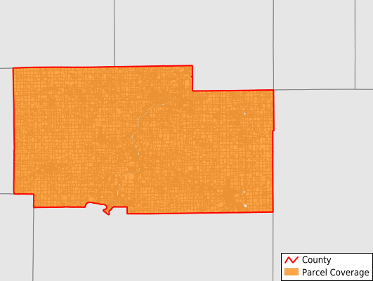
Ogle County
Parcel Data
Price: $250.00
Last Updated:
2024-Q4
Parcels in County:
31,298
Parcel data available to download as a GDB, GeoPackage, Shapefile, Excel, CSV, or Google Earth KML file.
All purchased data comes with six months of access, including any updates, at no additional cost.
Key attribute coverage for Ogle County
The percentage of Ogle County parcels containing the following key attributes:
Owner: 99.7%
Parcel Number: 100%
Acreage (Calculated): 100%
Site Address: 77.8%
Mailing Address: 98.4%
All available attributes in Ogle County
Parcel Number
Site Address
Owner
Land Use Code
Land Use Class
Acreage (deeded)
Acreage (calculated)
Perimeter
Municipality
School District
Zip Code
Flood Zone
Flood Zone Subtype
Census Tract
Census Block Group
Census Block
Mail Name
Mail Address1
Mail Address2
Mail Address3
Legal Desc1
Addr Sec Unit Num
Place Gnis Code
Land Cover
Elevation
Owner Occupied
Robust Id
Usps Residential
Plss Description
Plss Township
Plss Range
Plss Section
Crop Cover
Acreage Adjacent With Sameowner
Municipalities Respresented in Ogle County
Brookville Township: 281
Buffalo Township: 1,643
Byron Township: 3,068
Dement Township: 905
Eagle Point Township: 266
Flagg Township: 5,358
Forreston Township: 1,322
Grand Detour Township: 591
Lafayette Township: 207
Leaf River Township: 935
Lynnville Township: 567
Marion Township: 2,159
Maryland Township: 593
Monroe Township: 995
Mount Morris Township: 1,845
Oregon-Nashua Township: 3,067
Pine Creek Township: 694
Pine Rock Township: 875
Rockvale Township: 1,321
Scott Township: 1,710
Taylor Township: 1,538
White Rock Township: 604
Woosung Township: 274
Lincoln Township: 480
Save money when you buy data in bulk
We offer discounted pricing on county and state downloads.