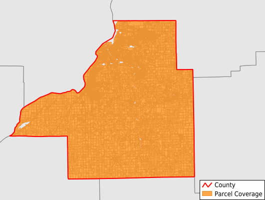
Tazewell County
Parcel Data
Price: $250.00
Last Updated:
2024-Q2
Parcels in County:
68,098
Parcel data available to download as a GDB, GeoPackage, Shapefile, Excel, CSV, or Google Earth KML file.
All purchased data comes with six months of access, including any updates, at no additional cost.
Key attribute coverage for Tazewell County
The percentage of Tazewell County parcels containing the following key attributes:
Owner: 98.2%
Parcel Number: 100%
Acreage (Calculated): 100%
Site Address: 97.8%
Mailing Address: 98.2%
All available attributes in Tazewell County
Parcel Number
Site Address
Owner
Transfer Date
Sale Price
Land Use Code
Acreage (deeded)
Acreage (calculated)
Perimeter
Municipality
School District
Zip Code
Flood Zone
Flood Zone Subtype
Census Tract
Census Block Group
Census Block
Coowner
Mail Address1
Mail Address2
Mail Address3
Legal Desc1
Buildings
Addr Sec Unit Num
Place Gnis Code
Land Cover
Elevation
Owner Occupied
Robust Id
Usps Residential
Plss Description
Plss Township
Plss Range
Plss Section
Crop Cover
Acreage Adjacent With Sameowner
Municipalities Respresented in Tazewell County
Fondulac Township: 6,567
Boynton Township: 421
Cincinnati Township: 4,028
Deer Creek Township: 929
Delavan Township: 1,311
Dillon Township: 761
Elm Grove Township: 1,969
Groveland Township: 9,980
Hittle Township: 671
Hopedale Township: 1,302
Little Mackinaw Township: 1,086
Mackinaw Township: 2,707
Malone Township: 361
Morton Township: 7,403
Pekin Township: 13,189
Sand Prairie Township: 999
Spring Lake Township: 1,870
Tremont Township: 1,667
Washington Township: 10,877
Save money when you buy data in bulk
We offer discounted pricing on county and state downloads.