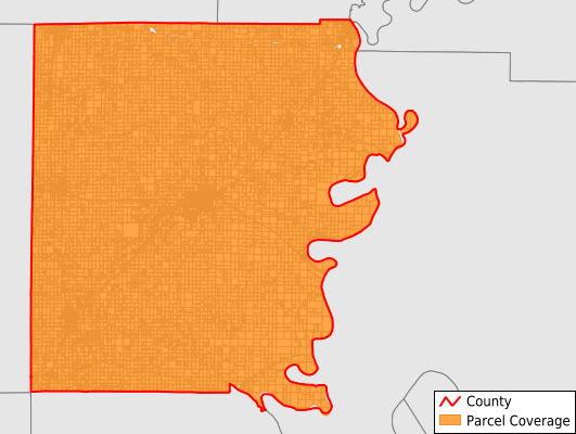
White County
Parcel Data
Price: $250.00
Last Updated:
2024-Q4
Parcels in County:
20,986
Parcel data available to download as a GDB, GeoPackage, Shapefile, Excel, CSV, or Google Earth KML file.
All purchased data comes with six months of access, including any updates, at no additional cost.
Key attribute coverage for White County
The percentage of White County parcels containing the following key attributes:
Owner: 98.5%
Parcel Number: 99.9%
Acreage (Calculated): 100%
Site Address: 36.8%
Mailing Address: 96.9%
All available attributes in White County
Parcel Number
Site Address
Owner
Acreage (deeded)
Acreage (calculated)
Perimeter
Municipality
School District
Zip Code
Flood Zone
Flood Zone Subtype
Census Tract
Census Block Group
Census Block
Mail Name
Mail Address1
Mail Address2
Mail Address3
Legal Desc1
Buildings
Addr Sec Unit Num
Place Gnis Code
Land Cover
Elevation
Owner Occupied
Robust Id
Usps Residential
Alt Id 1
Alt Id 2
Plss Description
Plss Township
Plss Range
Plss Section
Crop Cover
Acreage Adjacent With Sameowner
Municipalities Respresented in White County
Burnt Prairie Township: 1,246
Carmi Township: 5,815
Emma Township: 1,358
Enfield Township: 1,757
Gray Township: 1,567
Hawthorne Township: 1,010
Heralds Prairie Township: 1,256
Indian Creek Township: 3,095
Mill Shoals Township: 1,795
Phillips Township: 2,087
Save money when you buy data in bulk
We offer discounted pricing on county and state downloads.