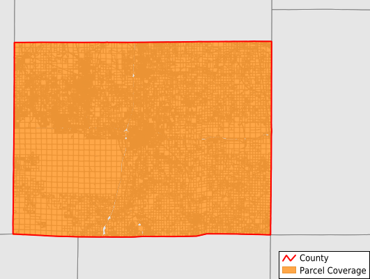
Williamson County
Parcel Data
Price: $250.00
Last Updated:
2024-Q3
Parcels in County:
50,672
Parcel data available to download as a GDB, GeoPackage, Shapefile, Excel, CSV, or Google Earth KML file.
All purchased data comes with six months of access, including any updates, at no additional cost.
Key attribute coverage for Williamson County
The percentage of Williamson County parcels containing the following key attributes:
Owner: 99.5%
Parcel Number: 100%
Acreage (Calculated): 100%
Site Address: 74.9%
Mailing Address: 99.5%
All available attributes in Williamson County
Parcel Number
Site Address
Owner
Land Use Code
Land Use Class
Acreage (deeded)
Acreage (calculated)
Perimeter
Municipality
School District
Zip Code
Flood Zone
Flood Zone Subtype
Census Tract
Census Block Group
Census Block
Total Market Value
Land Market Value
Building Market Value
Map Book
Map Page
Mail Name
Mail Address1
Legal Desc1
Buildings
Addr Sec Unit Num
Place Gnis Code
Land Cover
Elevation
Owner Occupied
Robust Id
Usps Residential
Plss Description
Plss Township
Plss Range
Plss Section
Crop Cover
Acreage Adjacent With Sameowner
Municipalities Respresented in Williamson County
Blairsville Precinct: 5,245
Carterville Precinct: 7,392
Corinth Precinct: 1,228
Crab Orchard Precinct: 1,501
Creal Springs Precinct: 2,817
East Marion Precinct: 6,406
Grassy Precinct: 896
Herrin Precinct: 9,850
Lake Creek Precinct: 3,767
Southern Precinct: 2,160
Stonefort Precinct: 1,366
West Marion Precinct: 8,044
Save money when you buy data in bulk
We offer discounted pricing on county and state downloads.