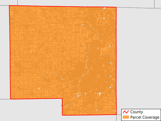
Winnebago County
Parcel Data
Price: $250.00
Last Updated:
2024-Q1
Parcels in County:
128,480
Parcel data available to download as a GDB, GeoPackage, Shapefile, Excel, CSV, or Google Earth KML file.
All purchased data comes with six months of access, including any updates, at no additional cost.
Key attribute coverage for Winnebago County
The percentage of Winnebago County parcels containing the following key attributes:
Owner: 100%
Parcel Number: 100%
Acreage (Calculated): 100%
Site Address: 99.9%
Mailing Address: 100%
All available attributes in Winnebago County
Parcel Number
Site Address
Owner
Acreage (calculated)
Perimeter
Municipality
School District
Zip Code
Flood Zone
Flood Zone Subtype
Census Tract
Census Block Group
Census Block
Mail Address1
Mail Address2
Mail Address3
Legal Desc1
Buildings
Addr Sec Unit Num
Place Gnis Code
Land Cover
Elevation
Owner Occupied
Robust Id
Usps Residential
Alt Id 1
Plss Description
Plss Township
Plss Range
Plss Section
Crop Cover
Acreage Adjacent With Sameowner
Municipalities Respresented in Winnebago County
Burritt Township: 907
Cherry Valley Township: 7,281
Durand Township: 1,749
Harlem Township: 16,992
Harrison Township: 576
Laona Township: 1,321
Owen Township: 2,254
Pecatonica Township: 2,396
Rockford Township: 74,260
Rockton Township: 7,424
Roscoe Township: 8,970
Seward Township: 800
Shirland Township: 856
Winnebago Township: 2,694
Save money when you buy data in bulk
We offer discounted pricing on county and state downloads.