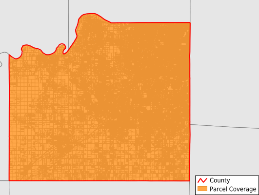
Johnson County
Parcel Data
Price: $200.00
Last Updated:
2025-Q1
Parcels in County:
258,458
Parcel data available to download as a GDB, GeoPackage, Shapefile, Excel, CSV, or Google Earth KML file.
All purchased data comes with six months of access, including any updates, at no additional cost.
Key attribute coverage for Johnson County
The percentage of Johnson County parcels containing the following key attributes:
Owner: 94.3%
Parcel Number: 100%
Acreage (Calculated): 100%
Site Address: 94.3%
Mailing Address: 94.3%
All available attributes in Johnson County
Parcel Number
Site Address
Owner
Land Use Code
Zoning
Acreage (deeded)
Acreage (calculated)
Perimeter
Municipality
School District
Zip Code
Flood Zone
Flood Zone Subtype
Census Tract
Census Block Group
Census Block
Mail Name
Mail Address1
Mail Address3
Buildings
Condition
Addr Sec Unit Num
Place Gnis Code
Land Cover
Elevation
Owner Occupied
Robust Id
Usps Residential
Alt Id 1
Alt Id 2
Plss Description
Plss Township
Plss Range
Plss Section
Crop Cover
Acreage Adjacent With Sameowner
Municipalities Respresented in Johnson County
Lexington Township: 2,243
Olathe Township: 1,432
Oxford Township: 976
Aubry Township: 3,584
Mccamish Township: 1,754
Gardner Township: 3,004
Spring Hill Township: 1,903
Bonner Springs City: 35
De Soto City: 3,779
Edgerton City: 1,112
Fairway City: 2,063
Gardner City: 8,231
Lake Quivira City: 535
Leawood City: 15,354
Lenexa City: 22,557
Merriam City: 4,977
Mission City: 4,681
Mission Hills City: 1,509
Mission Woods City: 112
Olathe City: 56,337
Overland Park City: 75,307
Prairie Village City: 10,343
Roeland Park City: 3,189
Shawnee City: 28,345
Spring Hill City: 3,995
Westwood City: 919
Westwood Hills City: 182
Save money when you buy data in bulk
We offer discounted pricing on county and state downloads.