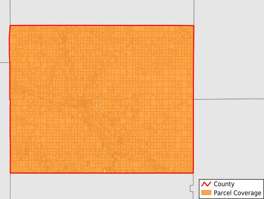
Ottawa County
Parcel Data
Price: $250.00
Last Updated:
2025-Q1
Parcels in County:
6,767
Parcel data available to download as a GDB, GeoPackage, Shapefile, Excel, CSV, or Google Earth KML file.
All purchased data comes with six months of access, including any updates, at no additional cost.
Key attribute coverage for Ottawa County
The percentage of Ottawa County parcels containing the following key attributes:
Owner: 99.7%
Parcel Number: 100%
Acreage (Calculated): 100%
Site Address: 99.7%
Mailing Address: 99.7%
All available attributes in Ottawa County
Parcel Number
Site Address
Owner
Neighborhood Code
Land Use Code
Land Use Class
Acreage (calculated)
Perimeter
Municipality
School District
Zip Code
Census Tract
Census Block Group
Census Block
Mail Address1
Legal Desc1
Place Gnis Code
Land Cover
Elevation
Owner Occupied
Robust Id
Usps Residential
Plss Description
Plss Township
Plss Range
Plss Section
Crop Cover
Acreage Adjacent With Sameowner
Municipalities Respresented in Ottawa County
Stanton Township: 203
Sheridan Township: 634
Logan Township: 213
Sherman Township: 158
Chapman Township: 170
Fountain Township: 311
Henry Township: 137
Garfield Township: 235
Center Township: 211
Concord Township: 313
Blaine Township: 237
Grant Township: 174
Richland Township: 244
Durham Township: 91
Ottawa Township: 119
Morton Township: 501
Culver Township: 360
Bennington Township: 874
Buckeye Township: 208
Lincoln Township: 228
Minneapolis City: 1,146
Save money when you buy data in bulk
We offer discounted pricing on county and state downloads.