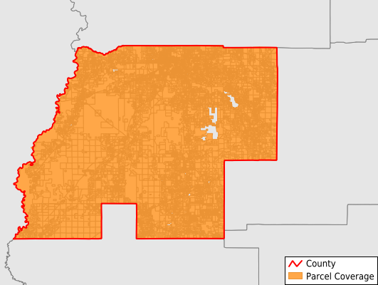
Beauregard Parish
Parcel Data
Last Updated:
2025-Q1
Parcels in County:
26,752
Parcel data available to download as a GDB, GeoPackage, Shapefile, Excel, CSV, or Google Earth KML file.
All purchased data comes with six months of access, including any updates, at no additional cost.
Key attribute coverage for Beauregard Parish
The percentage of Beauregard Parish parcels containing the following key attributes:
Owner: 97.7%
Parcel Number: 97.7%
Acreage (Calculated): 100%
Site Address: 72.4%
Mailing Address: 97.6%
All available attributes in Beauregard Parish
Parcel Number
Site Address
Owner
Transfer Date
Sale Price
Land Use Code
Land Use Class
Acreage (calculated)
Perimeter
Municipality
School District
Zip Code
Flood Zone
Flood Zone Subtype
Census Tract
Census Block Group
Census Block
Total Market Value
Land Market Value
Building Market Value
Coowner
Mail Address1
Mail Address3
Legal Desc1
Buildings
Addr Sec Unit Num
Place Gnis Code
Land Cover
Elevation
Owner Occupied
Robust Id
Usps Residential
Plss Description
Plss Township
Plss Range
Plss Section
Crop Cover
Acreage Adjacent With Sameowner
Municipalities Respresented in Beauregard Parish
District 1: 3,470
District 2: 2,525
District 3A: 1,562
District 3B: 2,059
District 3C: 1,650
District 3D: 1,463
District 3E: 1,881
District 4A: 4,705
District 4B: 2,862
District 5: 4,575
Save money when you buy data in bulk
We offer discounted pricing on county and state downloads.