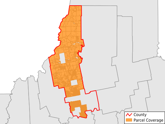
Somerset County
Parcel Data
Price: $200.00
Last Updated:
2025-Q1
Parcels in County:
20,425
Parcel data available to download as a GDB, GeoPackage, Shapefile, Excel, CSV, or Google Earth KML file.
All purchased data comes with six months of access, including any updates, at no additional cost.
Key attribute coverage for Somerset County
The percentage of Somerset County parcels containing the following key attributes:
Owner: 18.8%
Parcel Number: 100%
Acreage (Calculated): 100%
Site Address: 100%
Mailing Address: 18.8%
All available attributes in Somerset County
Parcel Number
Site Address
Owner
Transfer Date
Sale Price
Land Use Code
Land Use Class
Acreage (deeded)
Acreage (calculated)
Perimeter
Municipality
School District
Zip Code
Flood Zone
Flood Zone Subtype
Census Tract
Census Block Group
Census Block
Total Market Value
Land Market Value
Building Market Value
Map Book
Map Page
Mail Address1
Mail Address2
Mail Address3
Addr Sec Unit Num
Place Gnis Code
Land Cover
Elevation
Owner Occupied
Robust Id
Usps Residential
Alt Id 1
Crop Cover
Acreage Adjacent With Sameowner
Municipalities Respresented in Somerset County
Norridgewock Town: 5
Madison Town: 3,037
Cornville Town: 0
Skowhegan Town: 4,059
Hartland Town: 0
Harmony Town: 0
Athens Town: 0
Brighton Plantation: 0
Anson Town: 2,009
Bingham Town: 913
Cambridge Town: 0
Canaan Town: 5
Caratunk Town: 0
Central Somerset UT: 947
Dennistown Plantation: 51
Detroit Town: 0
Embden Town: 0
Fairfield Town: 3,271
Highland Plantation: 188
Jackman Town: 0
Mercer Town: 0
Moose River Town: 0
Moscow Town: 599
New Portland Town: 7
Northeast Somerset UT: 2,352
Northwest Somerset UT: 985
Palmyra Town: 0
Pittsfield Town: 0
Pleasant Ridge Plantation: 136
Ripley Town: 0
St. Albans Town: 0
Seboomook Lake UT: 474
Smithfield Town: 0
Solon Town: 0
Starks Town: 777
The Forks Plantation: 446
West Forks Plantation: 164
Save money when you buy data in bulk
We offer discounted pricing on county and state downloads.