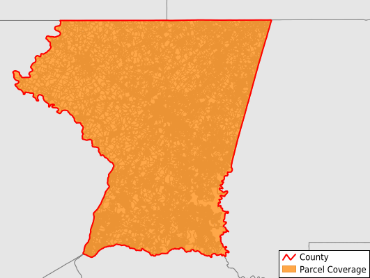
Carroll County
Parcel Data
Price: $200.00
Last Updated:
2024-Q3
Parcels in County:
76,096
Parcel data available to download as a GDB, GeoPackage, Shapefile, Excel, CSV, or Google Earth KML file.
All purchased data comes with six months of access, including any updates, at no additional cost.
Key attribute coverage for Carroll County
The percentage of Carroll County parcels containing the following key attributes:
Owner: 90.4%
Parcel Number: 90.8%
Acreage (Calculated): 100%
Site Address: 80.8%
Mailing Address: 90.4%
All available attributes in Carroll County
Parcel Number
Site Address
Owner
Transfer Date
Sale Price
Building Size
Zoning
Acreage (deeded)
Acreage (calculated)
Perimeter
Municipality
School District
Zip Code
Flood Zone
Flood Zone Subtype
Census Tract
Census Block Group
Census Block
Total Market Value
Land Market Value
Building Market Value
Mail Address1
Mail Address2
Mail Address3
Legal Desc1
Legal Desc2
Legal Desc3
Year Built
Style
Buildings
Addr Sec Unit Num
Place Gnis Code
Land Cover
Elevation
Owner Occupied
Robust Id
Usps Residential
Crop Cover
Acreage Adjacent With Sameowner
Municipalities Respresented in Carroll County
District 1, Taneytown: 4,976
District 10, Middleburg: 763
District 11, New Windsor: 2,095
District 12, Union Bridge: 753
District 13, Mount Airy: 4,670
District 14, Berrett: 5,630
District 2, Uniontown: 2,043
District 3, Myers: 2,823
District 4, Woolerys: 7,993
District 5, Freedom: 11,990
District 6, Manchester: 6,948
District 7, Westminster: 15,258
District 8, Hampstead: 6,799
District 9, Franklin: 3,355
Save money when you buy data in bulk
We offer discounted pricing on county and state downloads.