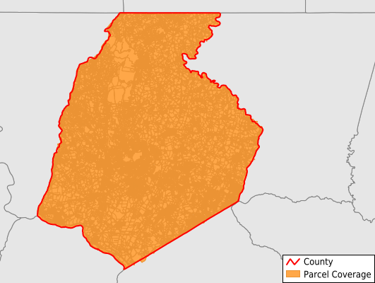
Frederick County
Parcel Data
Price: $200.00
Last Updated:
2024-Q3
Parcels in County:
121,967
Parcel data available to download as a GDB, GeoPackage, Shapefile, Excel, CSV, or Google Earth KML file.
All purchased data comes with six months of access, including any updates, at no additional cost.
Key attribute coverage for Frederick County
The percentage of Frederick County parcels containing the following key attributes:
Owner: 84.6%
Parcel Number: 84.9%
Acreage (Calculated): 100%
Site Address: 78.1%
Mailing Address: 84.6%
All available attributes in Frederick County
Parcel Number
Site Address
Owner
Transfer Date
Sale Price
Building Size
Land Use Code
Land Use Class
Zoning
Acreage (deeded)
Acreage (calculated)
Perimeter
Municipality
School District
Zip Code
Flood Zone
Flood Zone Subtype
Census Tract
Census Block Group
Census Block
Mail Address1
Mail Address2
Mail Address3
Legal Desc1
Legal Desc2
Legal Desc3
Year Built
Style
Buildings
Place Gnis Code
Land Cover
Elevation
Owner Occupied
Robust Id
Usps Residential
Crop Cover
Acreage Adjacent With Sameowner
Municipalities Respresented in Frederick County
District 1, Buckeystown: 5,690
District 10, Hauvers: 1,841
District 11, Woodsboro: 1,882
District 12, Petersville: 2,564
District 13, Mount Pleasant: 3,947
District 14, Jefferson: 2,665
District 15, Thurmont: 4,753
District 16, Jackson: 2,628
District 17, Johnsville: 1,384
District 18, Woodville: 4,493
District 19, Linganore: 1,068
District 2, Frederick: 29,477
District 20, Lewistown: 2,070
District 21, Tuscarora: 6,428
District 22, Burkittsville: 1,079
District 23, Ballenger: 3,067
District 24, Braddock: 3,173
District 25, Brunswick: 2,462
District 26, Walkersville: 4,038
District 3, Middletown: 4,967
District 4, Creagerstown: 904
District 5, Emmitsburg: 3,294
District 6, Catoctin: 1,761
District 7, Urbana: 9,115
District 8, Liberty: 1,421
District 9, New Market: 15,796
Save money when you buy data in bulk
We offer discounted pricing on county and state downloads.