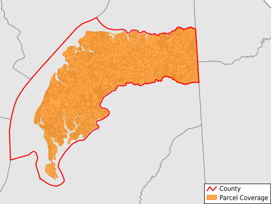
Kent County
Parcel Data
Price: $200.00
Last Updated:
2024-Q3
Parcels in County:
13,758
Parcel data available to download as a GDB, GeoPackage, Shapefile, Excel, CSV, or Google Earth KML file.
All purchased data comes with six months of access, including any updates, at no additional cost.
Key attribute coverage for Kent County
The percentage of Kent County parcels containing the following key attributes:
Owner: 97.2%
Parcel Number: 100%
Acreage (Calculated): 100%
Site Address: 71%
Mailing Address: 97.2%
All available attributes in Kent County
Parcel Number
Site Address
Owner
Transfer Date
Sale Price
Building Size
Land Use Code
Land Use Class
Zoning
Acreage (deeded)
Acreage (calculated)
Perimeter
Municipality
Zip Code
Flood Zone
Flood Zone Subtype
Census Tract
Census Block Group
Census Block
Total Market Value
Land Market Value
Building Market Value
Mail Address1
Mail Address2
Mail Address3
Legal Desc1
Legal Desc2
Legal Desc3
Year Built
Style
Place Gnis Code
Land Cover
Elevation
Owner Occupied
Robust Id
Usps Residential
Crop Cover
Acreage Adjacent With Sameowner
Municipalities Respresented in Kent County
District 1, Massey: 2,453
District 2, Kennedyville: 1,383
District 3, Worton (Betterton): 2,332
District 4, Chestertown: 2,312
District 5, Edesville: 2,301
District 6, Fairlee: 1,904
District 7, Pomona: 1,073
Save money when you buy data in bulk
We offer discounted pricing on county and state downloads.