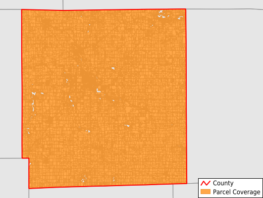
Hillsdale County
Parcel Data
Last Updated:
2025-Q1
Parcels in County:
33,452
Parcel data available to download as a GDB, GeoPackage, Shapefile, Excel, CSV, or Google Earth KML file.
All purchased data comes with six months of access, including any updates, at no additional cost.
Key attribute coverage for Hillsdale County
The percentage of Hillsdale County parcels containing the following key attributes:
Owner: 99.5%
Parcel Number: 100%
Acreage (Calculated): 100%
Site Address: 99.4%
Mailing Address: 99.2%
All available attributes in Hillsdale County
Parcel Number
Site Address
Owner
Transfer Date
Sale Price
Building Size
Land Use Code
Land Use Class
Zoning
Acreage (calculated)
Perimeter
Municipality
School District
Zip Code
Flood Zone
Flood Zone Subtype
Census Tract
Census Block Group
Census Block
Total Market Value
Land Market Value
Building Market Value
Mail Address1
Mail Address3
Legal Desc1
Year Built
Total Rooms
Bedrooms
Total Bath
Addr Sec Unit Num
Place Gnis Code
Land Cover
Elevation
Owner Occupied
Robust Id
Usps Residential
Plss Description
Plss Township
Plss Range
Plss Section
Crop Cover
Acreage Adjacent With Sameowner
Municipalities Respresented in Hillsdale County
Adams Township: 1,648
Allen Township: 1,226
Amboy Township: 1,869
Cambria Township: 2,276
Camden Township: 1,670
Fayette Township: 896
Hillsdale City: 2,913
Hillsdale Township: 1,456
Jefferson Township: 2,308
Litchfield City: 776
Litchfield Township: 799
Moscow Township: 1,028
Pittsford Township: 1,036
Ransom Township: 671
Reading City: 599
Reading Township: 2,070
Scipio Township: 1,154
Somerset Township: 4,927
Wheatland Township: 821
Woodbridge Township: 820
Wright Township: 1,410
Jonesville City: 1,079
Save money when you buy data in bulk
We offer discounted pricing on county and state downloads.