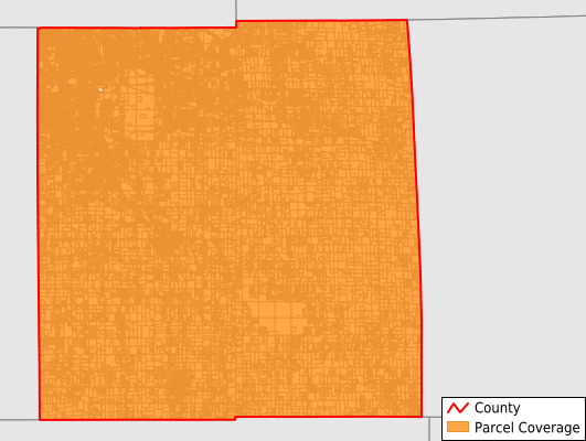
Ingham County
Parcel Data
Price: $300.00
Last Updated:
2024-Q3
Parcels in County:
101,733
Parcel data available to download as a GDB, GeoPackage, Shapefile, Excel, CSV, or Google Earth KML file.
All purchased data comes with six months of access, including any updates, at no additional cost.
Key attribute coverage for Ingham County
The percentage of Ingham County parcels containing the following key attributes:
Owner: 98.7%
Parcel Number: 100%
Acreage (Calculated): 100%
Site Address: 100%
Mailing Address: 99.1%
All available attributes in Ingham County
Parcel Number
Site Address
Owner
Land Use Code
Land Use Class
Acreage (deeded)
Acreage (calculated)
Perimeter
Municipality
School District
Zip Code
Flood Zone
Flood Zone Subtype
Census Tract
Census Block Group
Census Block
Mail Address1
Mail Address3
Addr Sec Unit Num
Place Gnis Code
Land Cover
Elevation
Owner Occupied
Robust Id
Usps Residential
Plss Description
Plss Township
Plss Range
Plss Section
Crop Cover
Acreage Adjacent With Sameowner
Municipalities Respresented in Ingham County
Alaiedon Township: 1,732
Aurelius Township: 2,104
Bunker Hill Township: 1,130
Delhi Charter Township: 9,389
East Lansing City: 7,450
Ingham Township: 1,350
Lansing City: 41,995
Lansing Charter Township: 3,366
Leroy Township: 1,686
Leslie City: 838
Leslie Township: 1,420
Locke Township: 1,049
Mason City: 3,014
Meridian Charter Township: 14,447
Onondaga Township: 1,508
Stockbridge Township: 2,078
Vevay Township: 1,640
Wheatfield Township: 904
White Oak Township: 818
Williamston City: 1,467
Williamstown Township: 2,348
Save money when you buy data in bulk
We offer discounted pricing on county and state downloads.