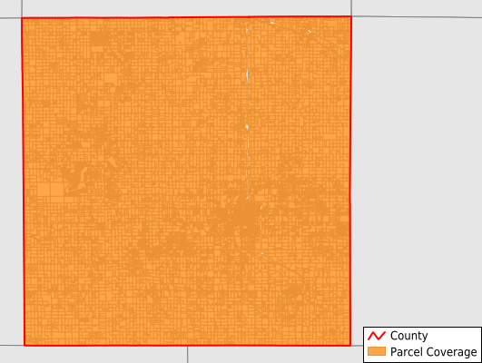
Isabella County
Parcel Data
Price: $300.00
Last Updated:
2024-Q4
Parcels in County:
30,733
Parcel data available to download as a GDB, GeoPackage, Shapefile, Excel, CSV, or Google Earth KML file.
All purchased data comes with six months of access, including any updates, at no additional cost.
Key attribute coverage for Isabella County
The percentage of Isabella County parcels containing the following key attributes:
Owner: 98.9%
Parcel Number: 98.9%
Acreage (Calculated): 100%
Site Address: 93.4%
Mailing Address: 98.9%
All available attributes in Isabella County
Parcel Number
Site Address
Owner
Transfer Date
Sale Price
Land Use Code
Land Use Class
Zoning
Acreage (deeded)
Acreage (calculated)
Perimeter
Municipality
School District
Zip Code
Flood Zone
Flood Zone Subtype
Census Tract
Census Block Group
Census Block
Mail Name
Mail Address1
Mail Address3
Legal Desc1
Buildings
Addr Sec Unit Num
Place Gnis Code
Land Cover
Elevation
Owner Occupied
Robust Id
Usps Residential
Alt Id 1
Plss Description
Plss Township
Plss Range
Plss Section
Crop Cover
Acreage Adjacent With Sameowner
Municipalities Respresented in Isabella County
Broomfield Township: 1,676
Chippewa Township: 2,452
Clare City: 87
Coe Township: 1,665
Coldwater Township: 791
Deerfield Township: 1,950
Denver Township: 865
Fremont Township: 966
Gilmore Township: 1,347
Isabella Township: 1,273
Lincoln Township: 1,175
Mount Pleasant City: 5,482
Nottawa Township: 1,689
Rolland Township: 940
Sherman Township: 3,285
Union Charter Township: 3,092
Vernon Township: 1,017
Wise Township: 981
Save money when you buy data in bulk
We offer discounted pricing on county and state downloads.