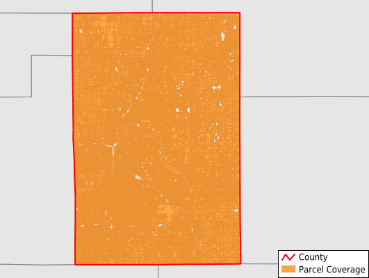
Kent County
Parcel Data
Price: $250.00
Last Updated:
2024-Q3
Parcels in County:
271,040
Parcel data available to download as a GDB, GeoPackage, Shapefile, Excel, CSV, or Google Earth KML file.
All purchased data comes with six months of access, including any updates, at no additional cost.
Key attribute coverage for Kent County
The percentage of Kent County parcels containing the following key attributes:
Owner: 100%
Parcel Number: 100%
Acreage (Calculated): 100%
Site Address: 100%
Mailing Address: 100%
All available attributes in Kent County
Parcel Number
Site Address
Owner
Land Use Code
Land Use Class
Acreage (deeded)
Acreage (calculated)
Perimeter
Municipality
School District
Zip Code
Flood Zone
Flood Zone Subtype
Census Tract
Census Block Group
Census Block
Mail Name
Mail Address1
Mail Address3
Buildings
Addr Sec Unit Num
Place Gnis Code
Land Cover
Elevation
Owner Occupied
Robust Id
Usps Residential
Alt Id 1
Plss Description
Plss Township
Plss Range
Plss Section
Crop Cover
Acreage Adjacent With Sameowner
Municipalities Respresented in Kent County
Ada Township: 7,533
Algoma Township: 6,464
Alpine Township: 5,743
Bowne Township: 2,777
Byron Township: 12,642
Caledonia Township: 8,324
Cannon Township: 7,909
Cascade Charter Township: 9,417
Cedar Springs City: 1,317
Courtland Township: 5,420
East Grand Rapids City: 4,127
Gaines Charter Township: 10,337
Grand Rapids City: 65,079
Grand Rapids Charter Township: 7,810
Grandville City: 6,253
Grattan Township: 3,494
Kentwood City: 16,440
Lowell City: 1,739
Lowell Charter Township: 4,041
Nelson Township: 4,255
Oakfield Township: 5,033
Plainfield Charter Township: 15,167
Rockford City: 2,885
Solon Township: 4,480
Sparta Township: 5,013
Spencer Township: 4,268
Tyrone Township: 3,456
Vergennes Township: 3,549
Walker City: 9,930
Wyoming City: 26,138
Save money when you buy data in bulk
We offer discounted pricing on county and state downloads.