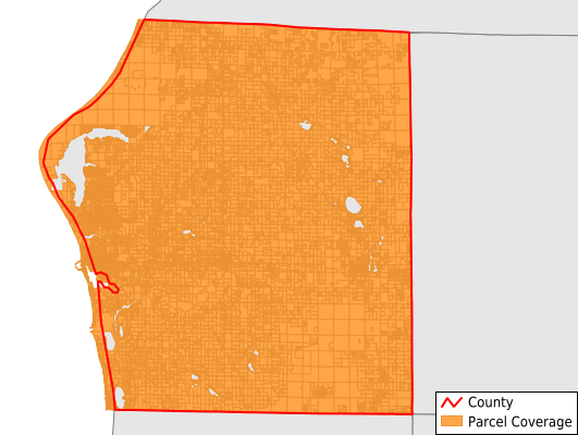
Mason County
Parcel Data
Price: $250.00
Last Updated:
2024-Q1
Parcels in County:
24,421
Parcel data available to download as a GDB, GeoPackage, Shapefile, Excel, CSV, or Google Earth KML file.
All purchased data comes with six months of access, including any updates, at no additional cost.
Key attribute coverage for Mason County
The percentage of Mason County parcels containing the following key attributes:
Owner: 100%
Parcel Number: 100%
Acreage (Calculated): 100%
Site Address: 75.4%
Mailing Address: 98.2%
All available attributes in Mason County
Parcel Number
Site Address
Owner
Transfer Date
Land Use Code
Land Use Class
Acreage (calculated)
Perimeter
Municipality
School District
Zip Code
Census Tract
Census Block Group
Census Block
Total Market Value
Mail Address1
Mail Address3
Legal Desc1
Addr Sec Unit Num
Place Gnis Code
Land Cover
Elevation
Owner Occupied
Robust Id
Usps Residential
Plss Description
Plss Township
Plss Range
Plss Section
Crop Cover
Acreage Adjacent With Sameowner
Municipalities Respresented in Mason County
Amber Township: 1,422
Branch Township: 1,752
Custer Township: 1,012
Eden Township: 779
Free Soil Township: 1,147
Grant Township: 1,022
Hamlin Township: 3,454
Logan Township: 801
Ludington City: 3,729
Meade Township: 565
Pere Marquette Charter Township: 1,816
Riverton Township: 963
Scottville City: 710
Sheridan Township: 1,761
Sherman Township: 920
Summit Township: 1,394
Victory Township: 1,174
Save money when you buy data in bulk
We offer discounted pricing on county and state downloads.