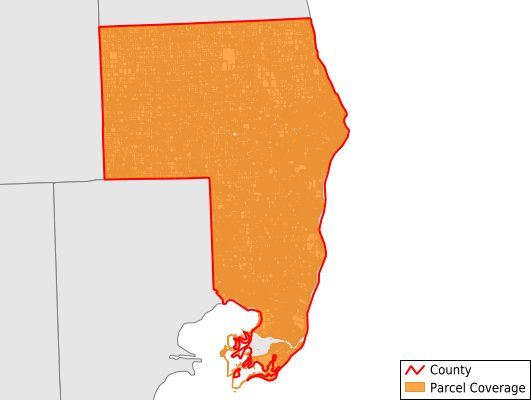
St. Clair County
Parcel Data
Price: $300.00
Last Updated:
2024-Q3
Parcels in County:
77,518
Parcel data available to download as a GDB, GeoPackage, Shapefile, Excel, CSV, or Google Earth KML file.
All purchased data comes with six months of access, including any updates, at no additional cost.
Key attribute coverage for St. Clair County
The percentage of St. Clair County parcels containing the following key attributes:
Owner: 99.9%
Parcel Number: 100%
Acreage (Calculated): 100%
Site Address: 99.5%
Mailing Address: 99.4%
All available attributes in St. Clair County
Parcel Number
Site Address
Owner
Neighborhood Code
Land Use Code
Land Use Class
Acreage (deeded)
Acreage (calculated)
Perimeter
Municipality
School District
Zip Code
Flood Zone
Flood Zone Subtype
Census Tract
Census Block Group
Census Block
Mail Address1
Mail Address3
Legal Desc1
Legal Desc2
Homestead Amt
Buildings
Addr Sec Unit Num
Place Gnis Code
Land Cover
Elevation
Owner Occupied
Robust Id
Usps Residential
Plss Description
Plss Township
Plss Range
Plss Section
Crop Cover
Acreage Adjacent With Sameowner
Municipalities Respresented in St. Clair County
Algonac City: 1,971
Berlin Township: 1,759
Brockway Township: 1,207
Burtchville Township: 1,911
Casco Township: 1,831
China Township: 1,856
Clay Township: 6,987
Clyde Township: 2,733
Columbus Township: 1,832
Cottrellville Township: 1,747
East China Township: 1,743
Emmett Township: 1,523
Fort Gratiot Charter Township: 4,564
Grant Township: 1,075
Greenwood Township: 964
Ira Township: 2,326
Kenockee Township: 1,456
Kimball Township: 4,520
Lynn Township: 806
Marine City City: 1,938
Marysville City: 3,964
Memphis City: 164
Mussey Township: 2,148
Port Huron City: 12,336
Port Huron Charter Township: 4,046
Richmond City: 7
Riley Township: 1,869
St. Clair City: 2,215
St. Clair Township: 3,388
Wales Township: 1,843
Yale City: 789
Save money when you buy data in bulk
We offer discounted pricing on county and state downloads.