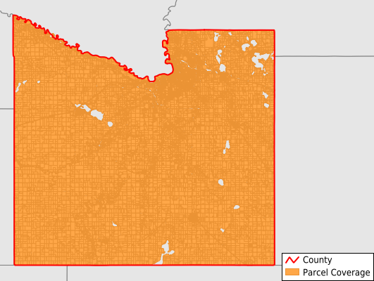
Blue Earth County
Parcel Data
Price: $250.00
Last Updated:
2024-Q4
Parcels in County:
33,481
Parcel data available to download as a GDB, GeoPackage, Shapefile, Excel, CSV, or Google Earth KML file.
All purchased data comes with six months of access, including any updates, at no additional cost.
Key attribute coverage for Blue Earth County
The percentage of Blue Earth County parcels containing the following key attributes:
Owner: 99%
Parcel Number: 100%
Acreage (Calculated): 100%
Site Address: 70.7%
Mailing Address: 98.4%
All available attributes in Blue Earth County
Parcel Number
Site Address
Owner
Neighborhood Code
Acreage (deeded)
Acreage (calculated)
Perimeter
Municipality
School District
Zip Code
Flood Zone
Flood Zone Subtype
Census Tract
Census Block Group
Census Block
Mail Address1
Mail Address3
Legal Desc1
Legal Desc2
Legal Desc3
Buildings
Addr Sec Unit Num
Place Gnis Code
Land Cover
Elevation
Owner Occupied
Robust Id
Usps Residential
Alt Id 2
Plss Description
Plss Township
Plss Range
Plss Section
Crop Cover
Acreage Adjacent With Sameowner
Municipalities Respresented in Blue Earth County
Beauford Township: 528
Butternut Valley Township: 443
Cambria Township: 453
Ceresco Township: 344
Danville Township: 399
Decoria Township: 859
Garden City Township: 763
Jamestown Township: 746
Judson Township: 697
Le Ray Township: 769
Lime Township: 745
Lincoln Township: 353
Lyra Township: 454
Mcpherson Township: 579
Mankato Township: 1,628
Mapleton Township: 427
Medo Township: 455
Pleasant Mound Township: 361
Rapidan Township: 937
Shelby Township: 496
South Bend Township: 1,049
Sterling Township: 434
Vernon Center Township: 456
Amboy City: 352
Eagle Lake City: 1,191
Good Thunder City: 310
North Mankato City: 0
Minnesota Lake City: 20
Lake Crystal City: 1,260
Madison Lake City: 709
Mankato City: 13,503
Mapleton City: 855
Skyline City: 138
Pemberton City: 134
St. Clair City: 402
Vernon Center City: 232
Save money when you buy data in bulk
We offer discounted pricing on county and state downloads.