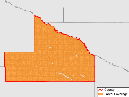
Brown County
Parcel Data
Price: $250.00
Last Updated:
2025-Q2
Parcels in County:
18,388
Parcel data available to download as a GDB, GeoPackage, Shapefile, Excel, CSV, or Google Earth KML file.
All purchased data comes with six months of access, including any updates, at no additional cost.
Key attribute coverage for Brown County
The percentage of Brown County parcels containing the following key attributes:
Owner: 99.8%
Parcel Number: 100%
Acreage (Calculated): 100%
Site Address: 63.9%
Mailing Address: 100%
All available attributes in Brown County
Parcel Number
Site Address
Owner
Neighborhood Code
Land Use Code
Land Use Class
Acreage (deeded)
Acreage (calculated)
Perimeter
Municipality
School District
Zip Code
Flood Zone
Flood Zone Subtype
Census Tract
Census Block Group
Census Block
Mail Name
Mail Address1
Mail Address2
Mail Address3
Legal Desc1
Legal Desc2
Legal Desc3
Buildings
Addr Sec Unit Num
Place Gnis Code
Land Cover
Elevation
Owner Occupied
Robust Id
Usps Residential
Plss Description
Plss Township
Plss Range
Plss Section
Crop Cover
Acreage Adjacent With Sameowner
Flood Zones
Nearest Transmission Line Dist Ft
Nearest Substation Dist Ft
Derived Geom Properties
Municipalities Respresented in Brown County
Albin Township: 452
Bashaw Township: 366
Burnstown Township: 410
Cottonwood Township: 804
Eden Township: 520
Home Township: 924
Lake Hanska Township: 540
Leavenworth Township: 438
Linden Township: 465
Milford Township: 868
Mulligan Township: 342
North Star Township: 364
Prairieville Township: 412
Sigel Township: 576
Stark Township: 511
Stately Township: 307
Cobden City: 62
Comfrey City: 266
Hanska City: 248
Evan City: 103
New Ulm City: 6,469
Sleepy Eye City: 1,731
Springfield City: 1,208
Save money when you buy data in bulk
We offer discounted pricing on county and state downloads.