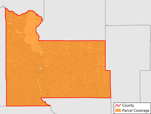
Morrison County
Parcel Data
Price: $250.00
Last Updated:
2025-Q2
Parcels in County:
30,149
Parcel data available to download as a GDB, GeoPackage, Shapefile, Excel, CSV, or Google Earth KML file.
All purchased data comes with six months of access, including any updates, at no additional cost.
Key attribute coverage for Morrison County
The percentage of Morrison County parcels containing the following key attributes:
Owner: 98.7%
Parcel Number: 100%
Acreage (Calculated): 100%
Site Address: 58.4%
Mailing Address: 98.7%
All available attributes in Morrison County
Parcel Number
Site Address
Owner
Acreage (deeded)
Acreage (calculated)
Perimeter
Municipality
School District
Zip Code
Flood Zone
Flood Zone Subtype
Census Tract
Census Block Group
Census Block
Mail Name
Mail Address1
Mail Address3
Legal Desc1
Legal Desc2
Buildings
Addr Sec Unit Num
Place Gnis Code
Land Cover
Elevation
Owner Occupied
Robust Id
Usps Residential
Plss Description
Plss Township
Plss Range
Plss Section
Crop Cover
Acreage Adjacent With Sameowner
Flood Zones
Nearest Transmission Line Dist Ft
Nearest Substation Dist Ft
Derived Geom Properties
Municipalities Respresented in Morrison County
Buckman City: 198
Genola City: 92
Randall City: 472
Pulaski Township: 601
Elmdale Township: 893
Scandia Valley Township: 3,201
Pierz City: 653
Harding City: 93
Agram Township: 492
Parker Township: 505
Darling Township: 502
Sobieski City: 146
Lakin Township: 518
Richardson Township: 1,048
Green Prairie Township: 490
Swanville Township: 578
Morrill Township: 616
Motley City: 466
Royalton City: 621
Granite Township: 468
Leigh Township: 360
Motley Township: 319
Elmdale City: 82
Mount Morris Township: 263
Rosing Township: 235
Bowlus City: 246
Pike Creek Township: 818
Hillman City: 78
Buh Township: 512
Buckman Township: 712
Flensburg City: 211
Pierz Township: 447
Platte Township: 412
Little Falls Township: 1,170
Swan River Township: 680
Cushing Township: 1,960
Little Falls City: 4,575
Belle Prairie Township: 637
Upsala City: 327
Ripley Township: 681
Lastrup City: 98
Swanville City: 291
Culdrum Township: 548
Hillman Township: 313
Two Rivers Township: 610
Bellevue Township: 909
Save money when you buy data in bulk
We offer discounted pricing on county and state downloads.