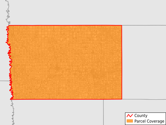
Norman County
Parcel Data
Price: $200.00
Last Updated:
2024-Q2
Parcels in County:
9,618
Parcel data available to download as a GDB, GeoPackage, Shapefile, Excel, CSV, or Google Earth KML file.
All purchased data comes with six months of access, including any updates, at no additional cost.
Key attribute coverage for Norman County
The percentage of Norman County parcels containing the following key attributes:
Owner: 94.6%
Parcel Number: 100%
Acreage (Calculated): 100%
Site Address: 36.1%
Mailing Address: 94.6%
All available attributes in Norman County
Parcel Number
Site Address
Owner
Acreage (deeded)
Acreage (calculated)
Perimeter
Municipality
School District
Zip Code
Flood Zone
Flood Zone Subtype
Census Tract
Census Block Group
Census Block
Mail Address1
Mail Address2
Legal Desc1
Buildings
Addr Sec Unit Num
Place Gnis Code
Land Cover
Elevation
Owner Occupied
Robust Id
Usps Residential
Plss Description
Plss Township
Plss Range
Plss Section
Crop Cover
Acreage Adjacent With Sameowner
Municipalities Respresented in Norman County
Anthony Township: 217
Bear Park Township: 340
Flom Township: 339
Fossum Township: 374
Good Hope Township: 142
Green Meadow Township: 229
Halstad Township: 390
Hegne Township: 193
Hendrum Township: 393
Home Lake Township: 266
Lake Ida Township: 234
Lee Township: 340
Lockhart Township: 214
Mcdonaldsville Township: 329
Mary Township: 244
Pleasant View Township: 263
Rockwell Township: 164
Shelly Township: 391
Spring Creek Township: 195
Strand Township: 254
Sundal Township: 268
Waukon Township: 249
Wild Rice Township: 472
Winchester Township: 202
Ada City: 1,090
Borup City: 104
Halstad City: 360
Hendrum City: 279
Gary City: 197
Shelly City: 198
Perley City: 125
Twin Valley City: 563
Save money when you buy data in bulk
We offer discounted pricing on county and state downloads.