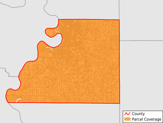
Buchanan County
Parcel Data
Price: $250.00
Last Updated:
2025-Q2
Parcels in County:
40,042
Parcel data available to download as a GDB, GeoPackage, Shapefile, Excel, CSV, or Google Earth KML file.
All purchased data comes with six months of access, including any updates, at no additional cost.
Key attribute coverage for Buchanan County
The percentage of Buchanan County parcels containing the following key attributes:
Owner: 100%
Parcel Number: 100%
Acreage (Calculated): 100%
Site Address: 99.8%
Mailing Address: 100%
All available attributes in Buchanan County
Parcel Number
Site Address
Owner
Building Size
Land Use Code
Land Use Class
Acreage (deeded)
Acreage (calculated)
Perimeter
Municipality
School District
Zip Code
Flood Zone
Flood Zone Subtype
Census Tract
Census Block Group
Census Block
Total Market Value
Mail Address1
Mail Address2
Mail Address3
Legal Desc1
Year Built
Addr Sec Unit Num
Place Gnis Code
Land Cover
Elevation
Owner Occupied
Robust Id
Usps Residential
Plss Description
Plss Township
Plss Range
Plss Section
Crop Cover
Acreage Adjacent With Sameowner
Flood Zones
Nearest Transmission Line Dist Ft
Nearest Substation Dist Ft
Derived Geom Properties
Municipalities Respresented in Buchanan County
Agency Township: 746
Bloomington Township: 588
Center Township: 1,653
Crawford Township: 744
Jackson Township: 452
Lake Township: 91
Marion Township: 916
Platte Township: 461
Rush Township: 829
Tremont Township: 571
Washington Township: 32,370
Wayne Township: 621
Save money when you buy data in bulk
We offer discounted pricing on county and state downloads.