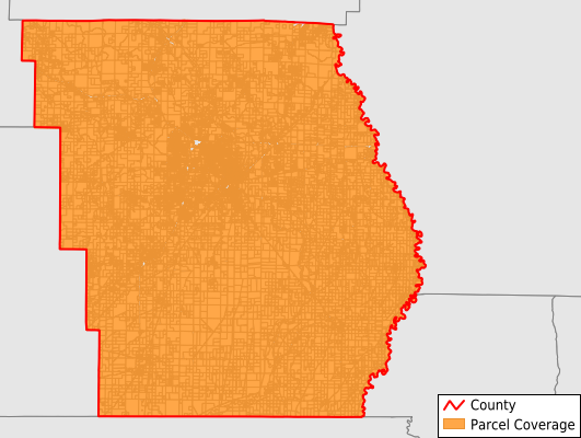
Butler County
Parcel Data
Price: $200.00
Last Updated:
2025-Q2
Parcels in County:
28,428
Parcel data available to download as a GDB, GeoPackage, Shapefile, Excel, CSV, or Google Earth KML file.
All purchased data comes with six months of access, including any updates, at no additional cost.
Key attribute coverage for Butler County
The percentage of Butler County parcels containing the following key attributes:
Owner: 99.5%
Parcel Number: 100%
Acreage (Calculated): 100%
Site Address: 97.7%
Mailing Address: 100%
All available attributes in Butler County
Parcel Number
Site Address
Owner
Acreage (deeded)
Acreage (calculated)
Perimeter
Municipality
School District
Zip Code
Flood Zone
Flood Zone Subtype
Census Tract
Census Block Group
Census Block
Total Market Value
Land Market Value
Mail Address1
Mail Address2
Mail Address3
Legal Desc1
Addr Sec Unit Num
Place Gnis Code
Land Cover
Elevation
Owner Occupied
Robust Id
Usps Residential
Plss Description
Plss Township
Plss Range
Plss Section
Crop Cover
Acreage Adjacent With Sameowner
Flood Zones
Nearest Transmission Line Dist Ft
Nearest Substation Dist Ft
Derived Geom Properties
Municipalities Respresented in Butler County
Ash Hill Township: 3,216
Beaver Dam Township: 3,169
Black River Township: 1,166
Cane Creek Township: 477
Coon Island Township: 351
Epps Township: 1,881
Gillis Bluff Township: 915
Neely Township: 1,124
Poplar Bluff Township: 14,487
St. Francois Township: 1,641
Save money when you buy data in bulk
We offer discounted pricing on county and state downloads.