Last Updated:
2025-Q2
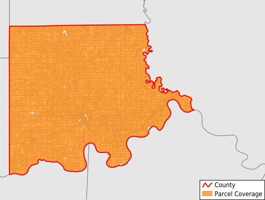
Parcels in County:
10,208
Parcel data available to download as a GDB, GeoPackage, Shapefile, Excel, CSV, or Google Earth KML file.
All purchased data comes with six months of access, including any updates, at no additional cost.
Key attribute coverage for Carroll County
The percentage of Carroll County parcels containing the following key attributes:
Owner: 98.4%
Parcel Number: 100%
Acreage (Calculated): 100%
Site Address: 44.2%
Mailing Address: 96.7%
All available attributes in Carroll County
Parcel Number
Site Address
Owner
Transfer Date
Sale Price
Land Use Code
Acreage (deeded)
Acreage (calculated)
Perimeter
Municipality
School District
Zip Code
Flood Zone
Flood Zone Subtype
Census Tract
Census Block Group
Census Block
Total Market Value
Mail Address1
Mail Address2
Mail Address3
Legal Desc1
Year Built
Style
Addr Sec Unit Num
Place Gnis Code
Land Cover
Elevation
Owner Occupied
Robust Id
Usps Residential
Alt Id 2
Plss Description
Plss Township
Plss Range
Plss Section
Crop Cover
Acreage Adjacent With Sameowner
Flood Zones
Nearest Transmission Line Dist Ft
Nearest Substation Dist Ft
Derived Geom Properties
Municipalities Respresented in Carroll County
Carrollton Township: 2,370
Combs Township: 338
De Witt Township: 582
Egypt Township: 963
Eugene Township: 580
Fairfield Township: 233
Hill Township: 341
Hurricane Township: 754
Leslie Township: 348
Moss Creek Township: 268
Prairie Township: 259
Ridge Township: 538
Rockford Township: 147
Stokes Mound Township: 422
Sugartree Township: 157
Trotter Township: 401
Van Horn Township: 526
Wakenda Township: 681
Washington Township: 287
Save money when you buy data in bulk
We offer discounted pricing on county and state downloads.