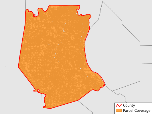
Jefferson County
Parcel Data
Price: $200.00
Last Updated:
2025-Q1
Parcels in County:
105,830
Parcel data available to download as a GDB, GeoPackage, Shapefile, Excel, CSV, or Google Earth KML file.
All purchased data comes with six months of access, including any updates, at no additional cost.
Key attribute coverage for Jefferson County
The percentage of Jefferson County parcels containing the following key attributes:
Owner: 99.7%
Parcel Number: 99.7%
Acreage (Calculated): 100%
Site Address: 77.4%
Mailing Address: 99.1%
All available attributes in Jefferson County
Parcel Number
Site Address
Owner
Transfer Date
Acreage (deeded)
Acreage (calculated)
Perimeter
Municipality
School District
Zip Code
Flood Zone
Flood Zone Subtype
Census Tract
Census Block Group
Census Block
Mail Address1
Mail Address2
Mail Address3
Legal Desc1
Addr Sec Unit Num
Place Gnis Code
Land Cover
Elevation
Owner Occupied
Robust Id
Usps Residential
Plss Description
Plss Township
Plss Range
Plss Section
Crop Cover
Acreage Adjacent With Sameowner
Municipalities Respresented in Jefferson County
Big River Township: 4,498
Central Township: 9,346
Joachim Township: 9,215
Meramec Township: 10,950
Plattin Township: 6,367
Rock Township: 11,296
Valle Township: 9,583
Arnold Township: 8,685
High Ridge Township: 8,420
Imperial Township: 10,763
River View Township: 7,690
Windsor Township: 9,015
Save money when you buy data in bulk
We offer discounted pricing on county and state downloads.