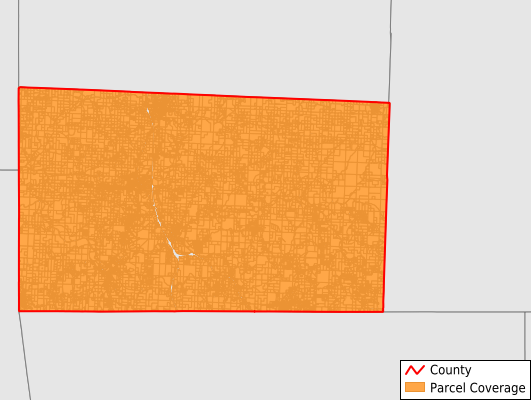
McDonald County
Parcel Data
Price: $200.00
Last Updated:
2025-Q2
Parcels in County:
16,768
Parcel data available to download as a GDB, GeoPackage, Shapefile, Excel, CSV, or Google Earth KML file.
All purchased data comes with six months of access, including any updates, at no additional cost.
Key attribute coverage for McDonald County
The percentage of McDonald County parcels containing the following key attributes:
Owner: 100%
Parcel Number: 100%
Acreage (Calculated): 100%
Site Address: 66%
Mailing Address: 99.9%
All available attributes in McDonald County
Parcel Number
Site Address
Owner
Acreage (deeded)
Acreage (calculated)
Perimeter
Municipality
School District
Zip Code
Flood Zone
Flood Zone Subtype
Census Tract
Census Block Group
Census Block
Mail Address1
Mail Address2
Mail Address3
Legal Desc1
Addr Sec Unit Num
Place Gnis Code
Land Cover
Elevation
Owner Occupied
Robust Id
Usps Residential
Alt Id 2
Plss Description
Plss Township
Plss Range
Plss Section
Crop Cover
Acreage Adjacent With Sameowner
Flood Zones
Nearest Transmission Line Dist Ft
Nearest Substation Dist Ft
Derived Geom Properties
Municipalities Respresented in McDonald County
Anderson East Township: 1,059
Anderson West Township: 1,131
Buffalo Hart Township: 274
Buffalo May Township: 494
Center Township: 941
Elk Horn Township: 1,117
Elk River East Township: 666
Elk River West Township: 1,259
Erie Goodman Township: 1,227
Erie Mcnatt Township: 440
Mcmillen Coy Township: 743
Mcmillen Tiff Township: 346
Mountain Township: 1,070
Pineville Lanagan Township: 812
Pineville North Township: 1,175
Pineville South Township: 1,126
Prairie Township: 913
Richwood Township: 602
White Rock Township: 1,370
Save money when you buy data in bulk
We offer discounted pricing on county and state downloads.