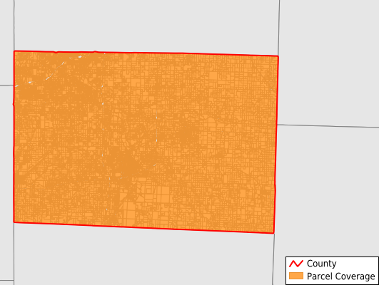
Newton County
Parcel Data
Price: $200.00
Last Updated:
2025-Q1
Parcels in County:
32,158
Parcel data available to download as a GDB, GeoPackage, Shapefile, Excel, CSV, or Google Earth KML file.
All purchased data comes with six months of access, including any updates, at no additional cost.
Key attribute coverage for Newton County
The percentage of Newton County parcels containing the following key attributes:
Owner: 99.7%
Parcel Number: 99.9%
Acreage (Calculated): 100%
Site Address: 99.9%
Mailing Address: 99.9%
All available attributes in Newton County
Parcel Number
Site Address
Owner
Acreage (deeded)
Acreage (calculated)
Perimeter
Municipality
School District
Zip Code
Flood Zone
Flood Zone Subtype
Census Tract
Census Block Group
Census Block
Total Market Value
Mail Address1
Mail Address2
Mail Address3
Legal Desc1
Addr Sec Unit Num
Place Gnis Code
Land Cover
Elevation
Owner Occupied
Robust Id
Usps Residential
Alt Id 1
Alt Id 2
Plss Description
Plss Township
Plss Range
Plss Section
Crop Cover
Acreage Adjacent With Sameowner
Municipalities Respresented in Newton County
Benton Township: 497
Berwick Township: 338
Buffalo Township: 1,569
Dayton Township: 876
Five Mile Township: 2,322
Franklin Township: 1,244
Granby Township: 2,680
Marion Township: 2,165
Neosho Township: 9,360
Newtonia Township: 538
Seneca Township: 1,834
Shoal Creek Township: 6,501
Van Buren Township: 1,083
West Benton Township: 1,151
Save money when you buy data in bulk
We offer discounted pricing on county and state downloads.