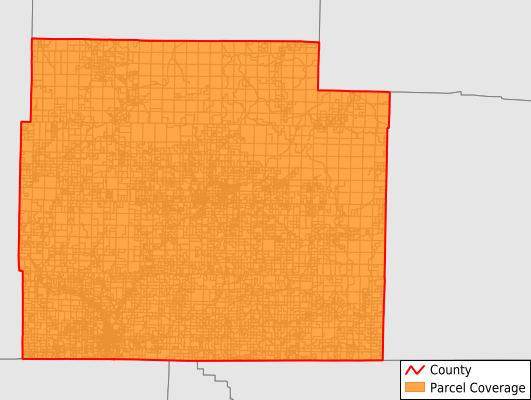
Oregon County
Parcel Data
Price: $200.00
Last Updated:
2025-Q1
Parcels in County:
10,511
Parcel data available to download as a GDB, GeoPackage, Shapefile, Excel, CSV, or Google Earth KML file.
All purchased data comes with six months of access, including any updates, at no additional cost.
Key attribute coverage for Oregon County
The percentage of Oregon County parcels containing the following key attributes:
Owner: 100%
Parcel Number: 100%
Acreage (Calculated): 100%
Site Address: 41%
Mailing Address: 97.2%
All available attributes in Oregon County
Parcel Number
Site Address
Owner
Transfer Date
Sale Price
Building Size
Land Use Code
Land Use Class
Acreage (deeded)
Acreage (calculated)
Perimeter
Municipality
School District
Zip Code
Census Tract
Census Block Group
Census Block
Total Market Value
Mail Address1
Mail Address3
Legal Desc1
Year Built
Style
Addr Sec Unit Num
Place Gnis Code
Land Cover
Elevation
Owner Occupied
Robust Id
Usps Residential
Alt Id 1
Plss Description
Plss Township
Plss Range
Plss Section
Crop Cover
Acreage Adjacent With Sameowner
Municipalities Respresented in Oregon County
Big Apple Township: 806
Billmore Township: 122
Black Pond Township: 256
Cedar Bluff Township: 206
Couch Township: 545
Falling Spring Township: 213
Goebel Township: 323
Highland Township: 489
Jeff Township: 412
Jobe Township: 216
Johnson Township: 383
King Township: 237
Moore Township: 564
Myrtle Township: 450
Ozark Township: 166
Piney Township: 1,847
Thayer Township: 2,904
Woodside Township: 372
Save money when you buy data in bulk
We offer discounted pricing on county and state downloads.