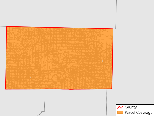
Ozark County
Parcel Data
Price: $250.00
Last Updated:
2025-Q2
Parcels in County:
12,240
Parcel data available to download as a GDB, GeoPackage, Shapefile, Excel, CSV, or Google Earth KML file.
All purchased data comes with six months of access, including any updates, at no additional cost.
Key attribute coverage for Ozark County
The percentage of Ozark County parcels containing the following key attributes:
Owner: 96.6%
Parcel Number: 96.6%
Acreage (Calculated): 100%
Site Address: 5.6%
Mailing Address: 96.6%
All available attributes in Ozark County
Parcel Number
Site Address
Owner
Acreage (calculated)
Perimeter
Municipality
School District
Zip Code
Flood Zone
Flood Zone Subtype
Census Tract
Census Block Group
Census Block
Mail Address1
Mail Address2
Mail Address3
Addr Sec Unit Num
Place Gnis Code
Land Cover
Elevation
Owner Occupied
Robust Id
Usps Residential
Alt Id 1
Plss Description
Plss Township
Plss Range
Plss Section
Crop Cover
Acreage Adjacent With Sameowner
Flood Zones
Nearest Transmission Line Dist Ft
Nearest Substation Dist Ft
Derived Geom Properties
Municipalities Respresented in Ozark County
Barren Fork Township: 435
Big Creek Township: 1,979
Bridges Township: 829
Dawt Township: 510
Jackson Township: 385
Jasper Township: 2,242
Lick Creek Township: 374
Longrun Township: 156
Noble Township: 305
Nottinghill Township: 206
Pine Creek Township: 464
Pontiac Township: 411
Richland Township: 861
Spring Creek Township: 204
Thornfield Township: 775
Bayou I Township: 841
Bayou Ii Township: 353
West Bridges Township: 905
Save money when you buy data in bulk
We offer discounted pricing on county and state downloads.