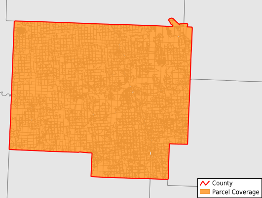
St. Clair County
Parcel Data
Price: $250.00
Last Updated:
2025-Q1
Parcels in County:
10,937
Parcel data available to download as a GDB, GeoPackage, Shapefile, Excel, CSV, or Google Earth KML file.
All purchased data comes with six months of access, including any updates, at no additional cost.
Key attribute coverage for St. Clair County
The percentage of St. Clair County parcels containing the following key attributes:
Owner: 100%
Parcel Number: 100%
Acreage (Calculated): 100%
Site Address: 91.3%
Mailing Address: 100%
All available attributes in St. Clair County
Parcel Number
Site Address
Owner
Acreage (deeded)
Acreage (calculated)
Perimeter
Municipality
School District
Zip Code
Flood Zone
Census Tract
Census Block Group
Census Block
Total Market Value
Land Market Value
Building Market Value
Mail Name
Mail Address1
Mail Address2
Mail Address3
Legal Desc1
Legal Desc2
Legal Desc3
Buildings
Addr Sec Unit Num
Place Gnis Code
Land Cover
Elevation
Owner Occupied
Robust Id
Usps Residential
Alt Id 1
Plss Description
Plss Township
Plss Range
Plss Section
Crop Cover
Acreage Adjacent With Sameowner
Municipalities Respresented in St. Clair County
Appleton Township: 963
Butler Township: 1,129
Center Township: 299
Chalk Level Township: 202
Collins Township: 627
Dallas Township: 656
Doyal Township: 608
Jackson Township: 2,160
Monegaw Township: 323
Osage Township: 465
Osceola Township: 1,268
Polk Township: 395
Roscoe Township: 642
Speedwell Township: 554
Taber Township: 293
Washington Township: 353
Save money when you buy data in bulk
We offer discounted pricing on county and state downloads.