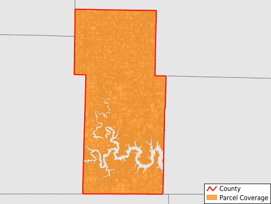
Stone County
Parcel Data
Price: $200.00
Last Updated:
2025-Q1
Parcels in County:
36,484
Parcel data available to download as a GDB, GeoPackage, Shapefile, Excel, CSV, or Google Earth KML file.
All purchased data comes with six months of access, including any updates, at no additional cost.
Key attribute coverage for Stone County
The percentage of Stone County parcels containing the following key attributes:
Owner: 99.1%
Parcel Number: 99.1%
Acreage (Calculated): 100%
Site Address: 62.2%
Mailing Address: 99.1%
All available attributes in Stone County
Parcel Number
Site Address
Owner
Acreage (deeded)
Acreage (calculated)
Perimeter
Municipality
School District
Zip Code
Flood Zone
Flood Zone Subtype
Census Tract
Census Block Group
Census Block
Mail Address1
Mail Address2
Mail Address3
Legal Desc1
Addr Sec Unit Num
Place Gnis Code
Land Cover
Elevation
Owner Occupied
Robust Id
Usps Residential
Plss Description
Plss Township
Plss Range
Plss Section
Crop Cover
Acreage Adjacent With Sameowner
Municipalities Respresented in Stone County
Alpine Township: 2,308
Cass Township: 1,018
Flat Creek A Township: 2,175
Flat Creek B Township: 1,296
Grant Township: 494
Hurley Township: 764
Lincoln Township: 634
Mckinley Township: 271
Pierce Township: 1,145
Pine A Township: 2,512
Pine B Township: 3,339
Ponce De Leon Township: 549
Ruth A Township: 3,418
Ruth C Township: 4,146
Union Township: 361
Washington Township: 1,721
Williams Township: 2,504
Sunset Cove Township: 967
Ruth B City Township: 1,983
Ruth B Rural Township: 3,144
Ruth C Rural Township: 1,735
Save money when you buy data in bulk
We offer discounted pricing on county and state downloads.