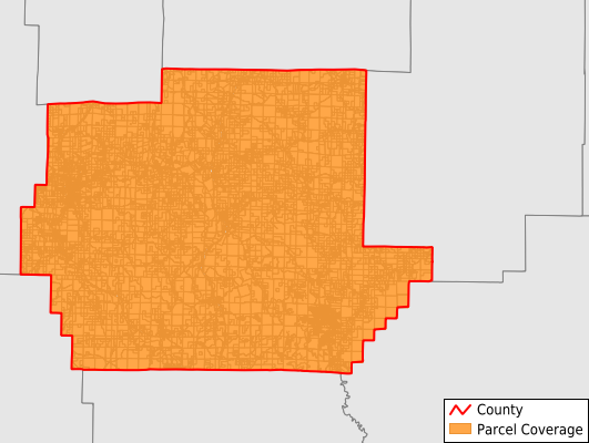
Wayne County
Parcel Data
Price: $250.00
Last Updated:
2024-Q2
Parcels in County:
18,490
Parcel data available to download as a GDB, GeoPackage, Shapefile, Excel, CSV, or Google Earth KML file.
All purchased data comes with six months of access, including any updates, at no additional cost.
Key attribute coverage for Wayne County
The percentage of Wayne County parcels containing the following key attributes:
Owner: 99.1%
Parcel Number: 99.1%
Acreage (Calculated): 100%
Site Address: 30.2%
Mailing Address: 99.1%
All available attributes in Wayne County
Parcel Number
Site Address
Owner
Acreage (deeded)
Acreage (calculated)
Perimeter
Municipality
School District
Zip Code
Flood Zone
Flood Zone Subtype
Census Tract
Census Block Group
Census Block
Mail Address1
Mail Address2
Mail Address3
Legal Desc1
Addr Sec Unit Num
Place Gnis Code
Land Cover
Elevation
Owner Occupied
Robust Id
Usps Residential
Plss Description
Plss Township
Plss Range
Plss Section
Crop Cover
Acreage Adjacent With Sameowner
Municipalities Respresented in Wayne County
Benton Township: 3,420
Black River Township: 1,098
Cedar Creek Township: 1,088
Cowan Township: 1,455
Jefferson Township: 574
Logan Township: 1,788
Lost Creek Township: 3,435
Mill Spring Township: 2,047
St. Francois Township: 2,383
Williams Township: 1,202
Save money when you buy data in bulk
We offer discounted pricing on county and state downloads.