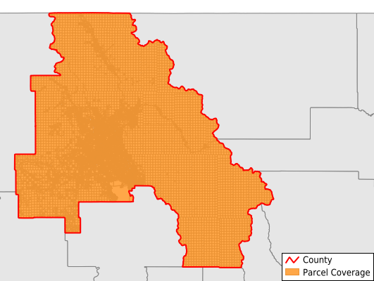
Flathead County
Parcel Data
Price: $200.00
Last Updated:
2025-Q3
Parcels in County:
83,424
Parcel data available to download as a GDB, GeoPackage, Shapefile, Excel, CSV, or Google Earth KML file.
All purchased data comes with six months of access, including any updates, at no additional cost.
Key attribute coverage for Flathead County
The percentage of Flathead County parcels containing the following key attributes:
Owner: 81.6%
Parcel Number: 81.9%
Acreage (Calculated): 100%
Site Address: 74.6%
Mailing Address: 81.5%
All available attributes in Flathead County
Parcel Number
Site Address
Owner
Land Use Code
Land Use Class
Acreage (deeded)
Acreage (calculated)
Perimeter
Municipality
School District
Zip Code
Flood Zone
Flood Zone Subtype
Census Tract
Census Block Group
Census Block
Total Market Value
Land Market Value
Building Market Value
Mail Address1
Mail Address2
Mail Address3
Legal Desc1
Buildings
Addr Sec Unit Num
Place Gnis Code
Land Cover
Elevation
Owner Occupied
Robust Id
Usps Residential
Alt Id 1
Plss Description
Plss Township
Plss Range
Plss Section
Crop Cover
Acreage Adjacent With Sameowner
Flood Zones
Nearest Transmission Line Dist Ft
Nearest Substation Dist Ft
Derived Geom Properties
Municipalities Respresented in Flathead County
Bad Rock-Columbia Heights CCD: 4,095
Columbia Falls CCD: 7,752
Creston-Bigfork CCD: 9,477
Glacier National Park CCD: 2,651
Kalispell CCD: 24,295
Kalispell Northwest CCD: 4,829
Kalispell Southwest CCD: 4,384
Lakeside-Somers CCD: 5,725
South Fork CCD: 5,380
Whitefish CCD: 14,611
Flathead Reservation CCD: 225
Save money when you buy data in bulk
We offer discounted pricing on county and state downloads.