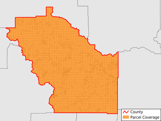
Meagher County
Parcel Data
Price: $200.00
Last Updated:
2025-Q2
Parcels in County:
6,122
Parcel data available to download as a GDB, GeoPackage, Shapefile, Excel, CSV, or Google Earth KML file.
All purchased data comes with six months of access, including any updates, at no additional cost.
Key attribute coverage for Meagher County
The percentage of Meagher County parcels containing the following key attributes:
Owner: 99%
Parcel Number: 99.3%
Acreage (Calculated): 100%
Site Address: 15%
Mailing Address: 99%
All available attributes in Meagher County
Parcel Number
Site Address
Owner
Land Use Code
Land Use Class
Acreage (deeded)
Acreage (calculated)
Perimeter
Municipality
School District
Zip Code
Flood Zone
Census Block Group
Census Block
Total Market Value
Land Market Value
Building Market Value
Mail Address1
Mail Address2
Mail Address3
Legal Desc1
Buildings
Place Gnis Code
Land Cover
Elevation
Owner Occupied
Robust Id
Usps Residential
Alt Id 1
Plss Description
Plss Township
Plss Range
Plss Section
Crop Cover
Acreage Adjacent With Sameowner
Municipalities Respresented in Meagher County
Martinsdale-Ringling CCD: 2,602
White Sulphur Springs CCD: 3,520
Save money when you buy data in bulk
We offer discounted pricing on county and state downloads.