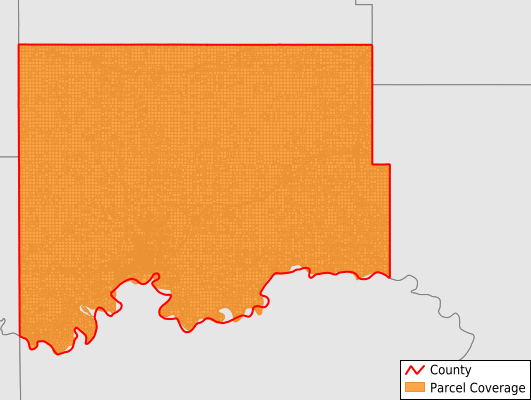
Williams County
Parcel Data
Price: $200.00
Last Updated:
2025-Q1
Parcels in County:
34,058
Parcel data available to download as a GDB, GeoPackage, Shapefile, Excel, CSV, or Google Earth KML file.
All purchased data comes with six months of access, including any updates, at no additional cost.
Key attribute coverage for Williams County
The percentage of Williams County parcels containing the following key attributes:
Owner: 100%
Parcel Number: 100%
Acreage (Calculated): 100%
Site Address: 43.9%
Mailing Address: 99.5%
All available attributes in Williams County
Parcel Number
Site Address
Owner
Acreage (calculated)
Perimeter
Municipality
School District
Zip Code
Flood Zone
Flood Zone Subtype
Census Tract
Census Block Group
Census Block
Mail Address1
Mail Address3
Legal Desc1
Addr Sec Unit Num
Place Gnis Code
Land Cover
Elevation
Owner Occupied
Robust Id
Usps Residential
Plss Description
Plss Township
Plss Range
Plss Section
Crop Cover
Acreage Adjacent With Sameowner
Municipalities Respresented in Williams County
Grenora City: 294
Orthell Township: 205
Ray City: 674
Twelve Mile Township: 542
Athens Township: 259
Brooklyn Township: 208
Equality Township: 322
Judson Township: 639
Bull Butte Township: 269
Lindahl Township: 268
Barr Butte Township: 349
Blue Ridge Township: 332
Champion Township: 170
Dublin Township: 180
East Fork Township: 269
Hebron Township: 269
Cow Creek UT: 204
Rock Island Township: 215
Trenton Township: 634
Williston City: 9,866
Stony Creek Township: 1,036
Springbrook City: 65
Bonetraill Township: 195
Truax Township: 610
Blacktail Township: 337
Golden Valley Township: 294
Strandahl Township: 166
Southeast Williams UT: 953
Pherrin Township: 787
New Home Township: 185
Tioga Township: 361
Sauk Valley Township: 389
Big Stone Township: 338
Buford Township: 475
Wheelock Township: 374
Big Meadow Township: 292
Alamo City: 125
View Township: 221
Dry Fork Township: 267
Farmvale Township: 234
Hazel Township: 242
Missouri Ridge Township: 1,526
Mont Township: 281
Tyrone Township: 295
Epping City: 114
Tioga City: 1,664
Round Prairie Township: 648
Springbrook Township: 766
Rainbow Township: 178
Ellisville Township: 190
Wildrose City: 227
Winner Township: 411
Climax Township: 161
Oliver Township: 192
Hardscrabble Township: 395
Williston Township: 925
West Bank Township: 305
Good Luck Township: 205
Scorio Township: 448
South Meadow Township: 178
Marshall Township: 273
Grenora Township: 198
Pleasant Valley Township: 364
Save money when you buy data in bulk
We offer discounted pricing on county and state downloads.